Podcast Episode Details
Back to Podcast Episodes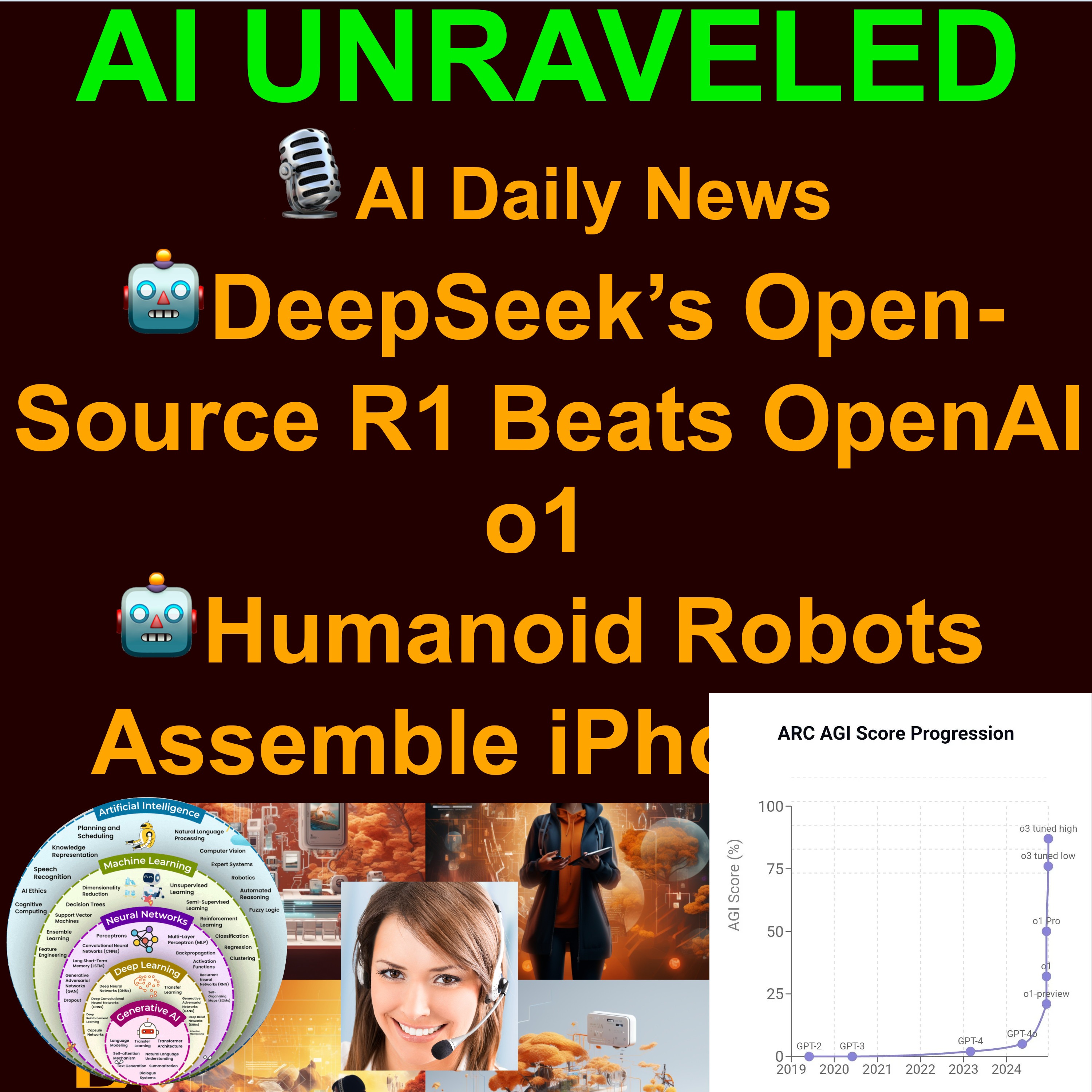
AI Daily News Jan 21 2025: 🤖DeepSeek’s Open-Source R1 Beats OpenAI o1 🐍AI-Designed Proteins Tackle Snake venom🤖Humanoid Robots Assemble iPhones in China 🧬UK’s Supercomputer Develops AI Vaccines 🖥️OpenAI’s ChatGPT Crawler Vulnerability Revealed
Season 20 Episode 22
A Daily Chronicle of AI Innovations on January 21st 2025
🤖DeepSeek’s Open-Source R1 Beats OpenAI o1
🤖Humanoid Robots Assemble iPhones in China
🧬UK’s Supercomputer Develops AI Vaccines
⚖️Trump Revokes Biden Executive Order on Addressing AI Risks
🖥️OpenAI’s ChatGPT Crawler Vulnerability Revealed
🐍AI-Designed Proteins Tackle Snake venom
We combine the power of GIS and AI to deliver instant, actionable intelligence for organizations that rely on real-time data gathering. Our unique solution leverages 🍇 GIS best practices and 🍉 Power Automate for GIS integration to collect field data—texts, photos, and geolocation—seamlessly. Then, through 🍊 Generative AI for image analysis, we deliver immediate insights and recommendations right to your team’s inbox, Sharepoint and chat tools.
- Real-Time Data Capture
- Instantly record geospatial information and relevant visuals from the field.
- Automate notifications to key stakeholders via email and Teams channels.
- AI-Powered Image Analysis
- Harness AI to detect anomalies, highlight patterns, or identify objects in captured images.
- Generate actionable feedback that streamlines your decision-making process.
- Seamless Integration & Automation
- Connect data flows into existing enterprise systems, dashboards, or databases.
- Configure automated workflows for notifications, task creation, or compliance checks.
4. Scalable for Multiple Industries
- Oil & Gas: Monitor pipelines, detect leaks, and improve safety compliance.
- Government & Security: Enhance surveillance, map incidents, and speed up emergency response.
- Construction & Infrastructure: Track progress, minimize downtime, and ensure regulatory standards.
- Environmental & Conservation: Collect ecological data, track wildlife, and manage resources effectively.
Contact us or book a demo here to receive a personalized value proposition
Published on 2 weeks ago