Episode Details
Back to Episodes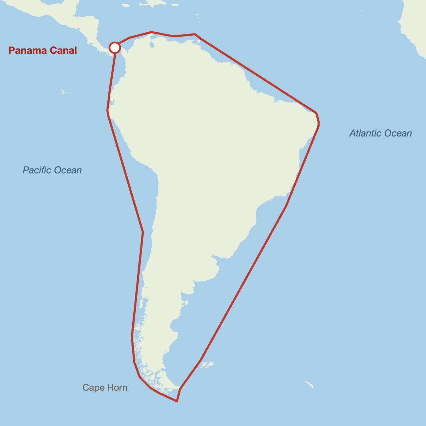
My Sea Router Turned a 50-Mile Canal Crossing Into a 10,337-Mile Detour
Description
This story was originally published on HackerNoon at: https://hackernoon.com/my-sea-router-turned-a-50-mile-canal-crossing-into-a-10337-mile-detour.
A 10,337-nautical-mile detour exposed how coastline data, H3 resolution, and distance quantization can break a global sea-routing graph.
Check more stories related to tech-stories at: https://hackernoon.com/c/tech-stories.
You can also check exclusive content about #gis, #h3-spatial-indexing, #openstreetmap, #maritime-route-planning, #h3-geospatial-indexing, #openstreetmap-coastline-data, #graph-edge-quantization, #hackernoon-top-story, and more.
This story was written by: @capk. Learn more about this writer by checking @capk's about page,
and for more stories, please visit hackernoon.com.
I generated a global sea routing graph from OpenStreetMap land polygons. It routed Atlantic to Pacific around South America, 10,337 nm, because lock canals are not sea and so are missing from the coastline data. Subtracting the canal water polygons fixed it: 49.7 nm. Then four more bugs that only appeared at planet scale, each one in the seam between two components that were correct on their own.