Episode Details
Back to Episodes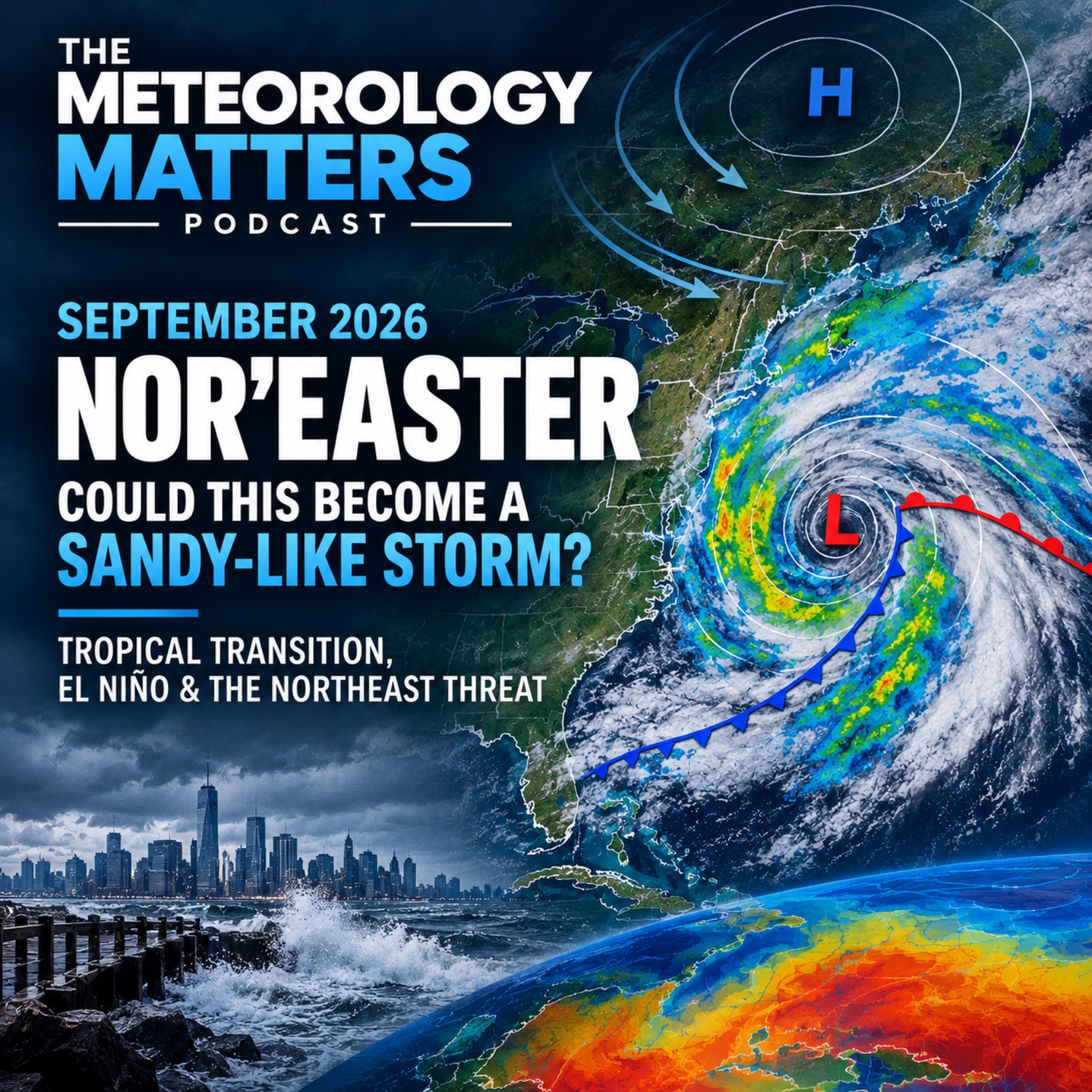
September 2026 Nor’easter: Could This Become a Sandy-Like Storm?
Description
A powerful early-season nor’easter is developing off the U.S. East Coast, with the Northeast facing an extended period of coastal flooding, high surf, strong winds and heavy rain from Friday through the weekend.
In this episode of Meteorology Matters, we take an inside look at what is actually happening with this unusual September coastal storm and why its evolution deserves close attention.
We examine the latest forecast guidance from the major numerical weather models, ensemble guidance and Google DeepMind’s WeatherNext AI system, including the growing uncertainty over the storm’s track, intensity and how long it may linger near the Northeast coast.
Could this system develop subtropical or hybrid characteristics as it strengthens over unusually warm Atlantic waters? We explain what would have to happen for an initially extratropical nor’easter to acquire more tropical-like characteristics, and why that is very different from the evolution of Superstorm Sandy.
We also compare this storm with Sandy not because they are the same type of storm, but because both involve a powerful coastal cyclone interacting with the complex geography and ocean environment of the Northeast. We examine the potential for coastal flooding, storm surge, beach erosion, damaging winds, heavy rainfall and inland impacts across New Jersey, New York, Long Island, New England and the I-95 corridor.
Then we look beyond this individual storm.
The Gulf of Mexico is currently presenting an unusual oceanographic puzzle: extremely warm sea-surface temperatures alongside less impressive subsurface ocean heat content in some areas. We examine how stratification, Loop Current variability, warm-core and cold-core eddies, and changes in ocean circulation could help explain that discrepancy and what it could mean for future tropical and subtropical systems.
Finally, we put the entire pattern into the context of the developing 2026–27 El Niño, atmospheric blocking, the jet stream and the possibility of additional strong coastal cyclones later this fall as colder continental air begins interacting with warm Atlantic, Caribbean and Gulf waters.
This is not simply a question of whether another “Sandy” is coming. It is a look at the atmospheric and oceanic ingredients that could make the second half of the 2026 Atlantic hurricane and fall storm season unusually active and why the evolution of this September nor’easter may provide an important early test of that pattern.
Meteorology Matters examines the science behind the forecast, separates realistic risks from extreme scenarios, and looks beyond the headlines to understand what the atmosphere and ocean are actually doing.
#Noreaster #Weather #Meteorology #ElNino #NortheastWeather