Episode Details
Back to Episodes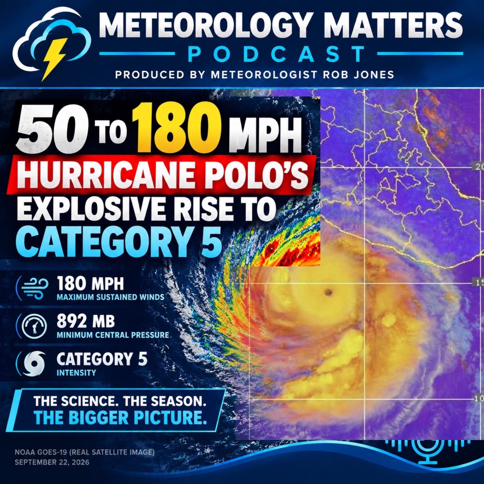
50 to 180 MPH: Hurricane Polo’s Explosive Rise to Category 5
Description
Hurricane Polo delivered one of the most extraordinary rapid-intensification episodes of the 2026 Eastern Pacific hurricane season — exploding from a 50-mph tropical storm into a Category 5 hurricane, then reaching an astonishing 180 mph with a central pressure of 892 millibars according to NOAA Hurricane Hunter reconnaissance.
In this episode of Meteorology Matters, we examine how Polo intensified so violently in such a short period of time. What happens when exceptionally warm ocean water, deep ocean heat content, abundant moisture, low vertical wind shear, strong upper-level outflow, and a compact inner core all come together? The result can be explosive tropical-cyclone intensification on a scale that remains extremely difficult to forecast.
We also put Polo into the larger context of the 2026 Eastern Pacific season, examining the influence of El Niño, the basin’s elevated activity and ACE, and the striking contrast with the unusually suppressed Atlantic hurricane season.
Then we turn toward the United States and one of the most intriguing questions raised by powerful Eastern Pacific hurricanes: Why do these storms so rarely reach California? We explore the subtropical ridge, typical westward steering, the California Current, coastal upwelling, cooler waters, and the late-September-to-October transition that can make northward recurvature more possible.
Polo is more than a story about an extraordinarily powerful hurricane. It is a case study in rapid intensification, ocean-atmosphere interaction, tropical cyclone structure, El Niño, Eastern Pacific climatology, and the complex steering patterns that determine where these storms ultimately go.
#HurricanePolo #EasternPacific #RapidIntensification #ElNino #MeteorologyMatters