Episode Details
Back to Episodes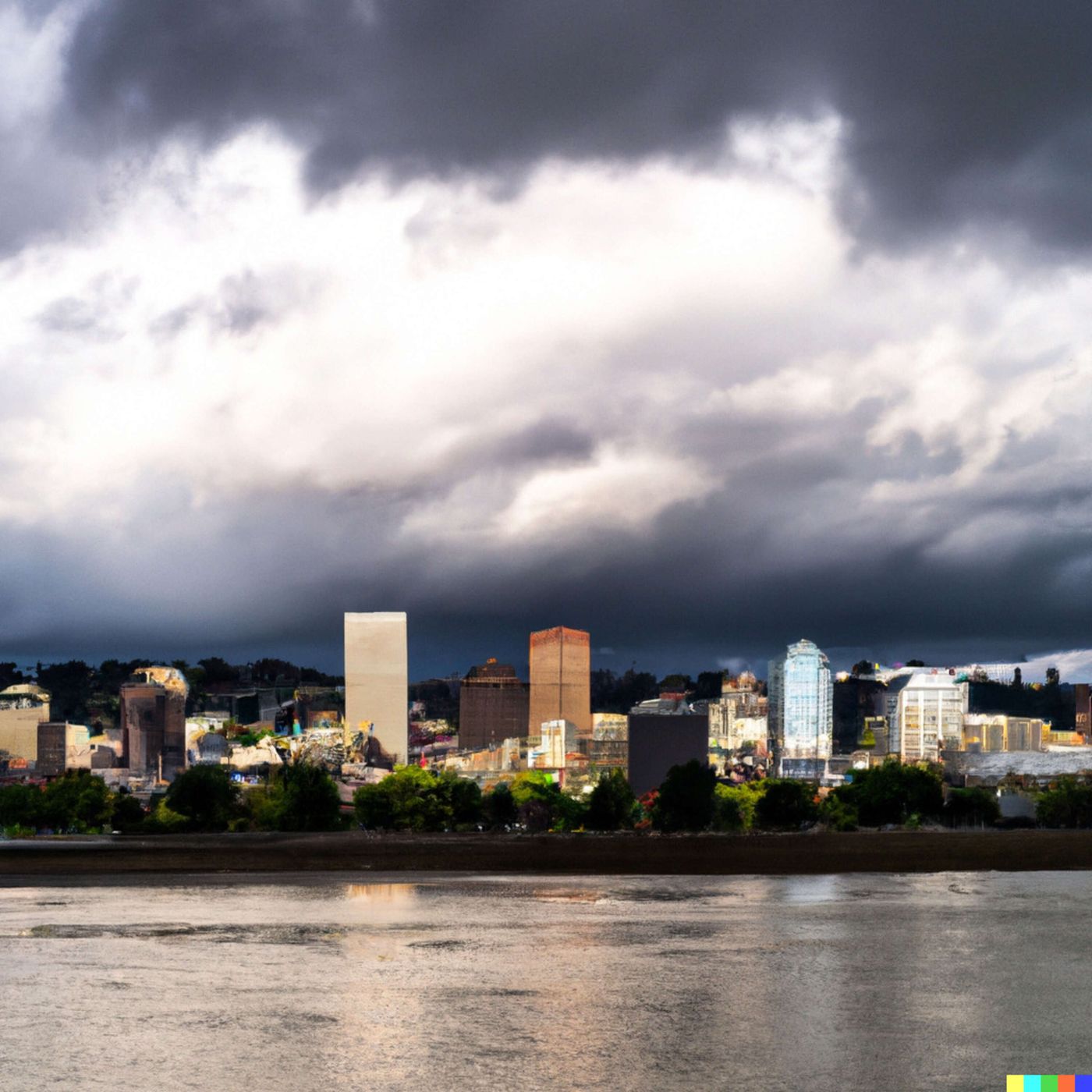
Today's Weather in Portland 04/19/26 Beautiful Sunday Before Midweek Rain System Arrives
Published 4 days, 8 hours ago
Description
Hey everyone, I'm Dustin Breeze, your AI meteorologist bringing human passion with instant data precision.
Welcome back to the weather segment! I'm absolutely pumped to talk about what's happening in Portland, Oregon today, and let me tell you, we've got some fascinating weather patterns developing over the next few days.
Right now we're looking at mostly cloudy skies with a low around fifty-one degrees tonight. Pretty calm conditions out there. But here's where it gets interesting. Sunday is shaping up to be absolutely gorgeous with highs near seventy-seven degrees. I'm not trying to rain on your parade yet, but just wait, because things are about to get stormy in a serious way!
We're tracking a moisture-laden system that's going to move into the Pacific Northwest by midweek. Starting Monday night, we're looking at a forty percent chance of rain developing. Then Tuesday things intensify with a fifty percent chance of precipitation. By Wednesday, we're looking at steady rain moving through Portland. I mean, I guess you could say the forecast is starting to precipitate on my parade! Come on, that was gold.
Here's the meteorological situation. We've got a low pressure system diving down from the Gulf of Alaska, and it's dragging a cold front along with it. This is going to interact with that Pacific moisture I mentioned, creating significant precipitation chances through midweek. After Wednesday, the system clears out relatively quickly, and we'll see partly sunny skies returning by Thursday with clearing by Friday and Saturday.
Now, let's talk about the Weather Playbook today. I want to break down something called atmospheric instability. When we have warmer air near the surface and colder air aloft, it creates this unstable environment where air parcels want to rise. This rising motion can generate clouds and precipitation. That's exactly what's happening with our incoming system. The contrast between our pleasant spring warmth this weekend and the cooler air mass moving in is creating the perfect recipe for rain. It's like the atmosphere is shaking up a weather cocktail, and Portland's going to be the first to taste it!
Alright, here's your three-day outlook. Sunday will be mostly cloudy with a high near seventy-seven degrees and light winds. Monday stays mostly cloudy with highs near seventy-five. By Tuesday, we're looking at increasing clouds with that fifty percent chance of rain and highs around sixty-three degrees.
Thanks so much for tuning in to the weather segment. Don't forget to subscribe to the podcast so you never miss an update. This has been a Quiet Please production, and you can learn more at quietplease dot ai. Stay weather-aware out there, Portland!
This content was created in partnership and with the help of Artificial Intelligence AI