Episode Details
Back to Episodes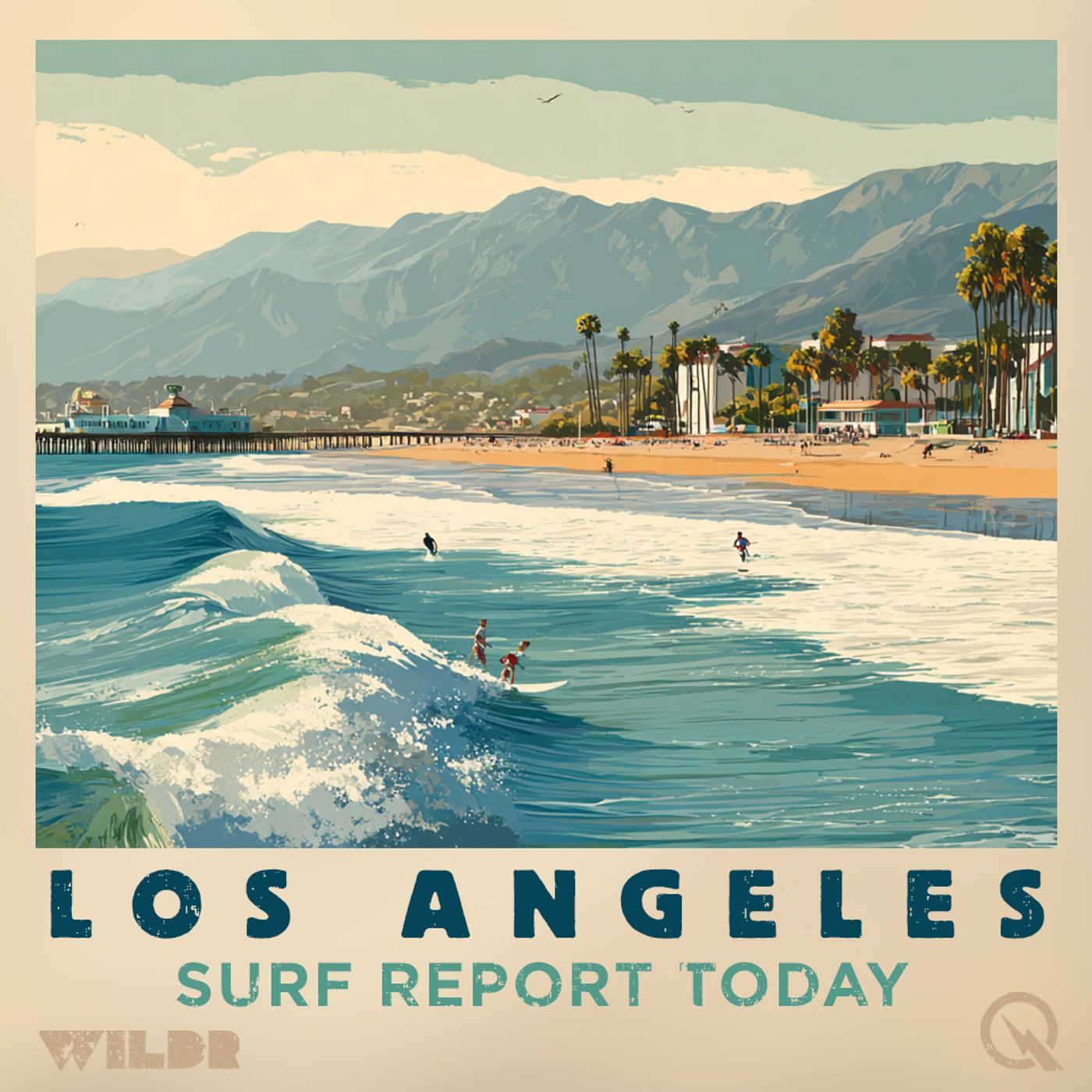
Southern California Surf Forecast Monday: Two to Six Foot Waves, Moderate Rip Currents, Low 60s Water Temperature
Published 2 weeks, 2 days ago
Description
Good afternoon, this is your surf zone forecast for Southern California brought to you by the National Weather Service Los Angeles and Oxnard offices, issued Monday at 1:10 PM Pacific Daylight Time.
Let's start down south in Santa Barbara County, where conditions are looking pretty mellow through Wednesday. The southwestern and southeastern coasts are expecting one to three foot waves with light winds and low rip current risks. Water temperatures are hovering in the low to mid 60s, so you might want to consider that wetsuit. The central coast and San Luis Obispo County beaches are seeing slightly more action with three to six foot surf this afternoon through Tuesday, backed by a mixed west and south swell. That same swell system continues into Wednesday, with three to five foot peaks expected.
Moving up the coast to Ventura County, we're looking at two to four foot waves with local sets pushing up to five feet. The moderate rip current risk means life threatening rip currents are possible, so pay attention to water conditions if you're heading out. Water temps are a comfortable sixty to sixty-five degrees. Wednesday stays consistent with similar heights and a moderate rip current risk, so nothing major changing there.
Over in Los Angeles County and the Malibu Coast, we've got that mixed west and south swell continuing to kick things up a bit. Two to four foot waves are on tap this afternoon through Tuesday, with some local sets reaching five feet and a moderate rip current risk. Water temperatures range from fifty-eight to sixty-seven degrees depending on the beach. But here's where things get interesting. Come Wednesday, the rip current risk jumps to high, meaning life threatening rip currents will likely be present. Surf heights bump up to three to five feet, so conditions are definitely worth monitoring if you're planning a session.
No thunderstorms are expected anywhere along the coast through Wednesday, so at least you won't have to worry about lightning. All areas are dealing with mixed swell patterns pushing moderate to decent sized waves, making for active conditions overall. Stay safe out there, and remember to respect the ocean's power, especially where rip current risks are elevated.
For more http://www.quietplease.ai
Get the best deals https://amzn.to/3ODvOta
This content was created in partnership and with the help of Artificial Intelligence AI