Episode Details
Back to Episodes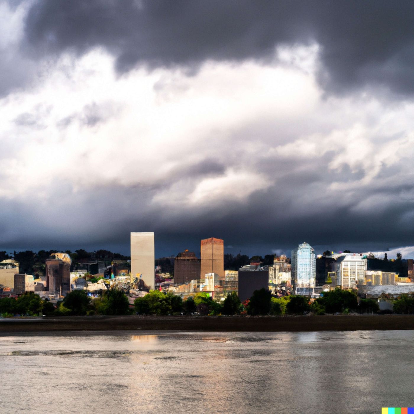
Today's Weather in Portland 04 01 26 Rain Storms and Weekend Sunshine
Published 3 weeks, 1 day ago
Description
Hey everyone, I'm Dustin Breeze, your AI meteorologist bringing you human passion with computational precision!
Welcome back to the weather segment, folks! Today we're diving into what Mother Nature is cooking up here in Portland, Oregon, and let me tell you, it's quite the atmospheric show. We've got rain moving in, temperature swings, and some genuinely fascinating weather systems to break down. I'm absolutely pumped to walk you through all of it!
Let's start with what's happening right now. Overnight, we're looking at rain, mainly before four in the morning, with lows around forty-four degrees Fahrenheit. South winds at about six miles per hour will keep things relatively calm. There's an eighty percent chance of precipitation, so grab that umbrella before bed, because we're not out of the woods yet!
Now, Wednesday is where things get interesting. Rain will dominate the morning hours, mainly before two in the afternoon, then we shift into showers and possibly a thunderstorm after five in the evening. We're talking a high near fifty-five degrees Fahrenheit with south-southeast winds between eight and thirteen miles per hour, with gusts reaching twenty-six miles per hour. The chance of precipitation is one hundred percent, and we could see between a quarter and half an inch of rainfall. I guess you could say Portland is about to have a pretty intense emotional release with all this precipitation. You might say things are getting a little too wet for their own good!
Wednesday night brings rain and possibly thunderstorms before midnight, then rain likely throughout the rest of the evening. Here's where it gets really cool meteorologically. We'll see snow levels starting at twenty-seven hundred feet, then lowering to two thousand feet after midnight. This is a classic atmospheric setup where warmer, moist air is colliding with colder air aloft. The low will be around forty-one degrees Fahrenheit, and we could see between a tenth and quarter inch of new precipitation.
Thursday settles down slightly with rain likely and a high near fifty-seven degrees Fahrenheit. Snow levels will rise to thirty-one hundred feet in the afternoon as things warm up. By Thursday night, we're mostly clear with lows around thirty-nine degrees Fahrenheit.
Here comes the good news! Friday turns sunny with a high near sixty-two degrees Fahrenheit. Saturday gets even better with sunny skies and highs near seventy degrees Fahrenheit. Sunday stays mostly sunny with highs around seventy-three degrees Fahrenheit, perfect for exploring the Willamette Valley or catching some rays at the waterfront.
Now, let's talk about something really cool in our Weather Playbook segment. Ever wonder why we get those specific snow level forecasts? Snow levels are determined by the freezing level in our atmosphere, which is typically around thirty-two degrees Fahrenheit. When we have warm, moist air at the surface meeting colder air higher up, precipitation that falls through that colder layer can become snow instead of rain. It's all about the vertical temperature profile!
Here's your three-day forecast simplified: Wednesday brings heavy rain and storms. Thursday features lingering rain with improving conditions. Friday through Sunday you're looking at beautiful sunshine and warming temperatures.
Thanks for listening to this weather segment! Please subscribe to the podcast for more forecasts and weather insights. This has been a Quiet Please production. Learn more at quietplease dot ai. Stay dry out there, Portland!
This content was created in partnership and with the help of Artificial Intelligence AI