Episode Details
Back to Episodes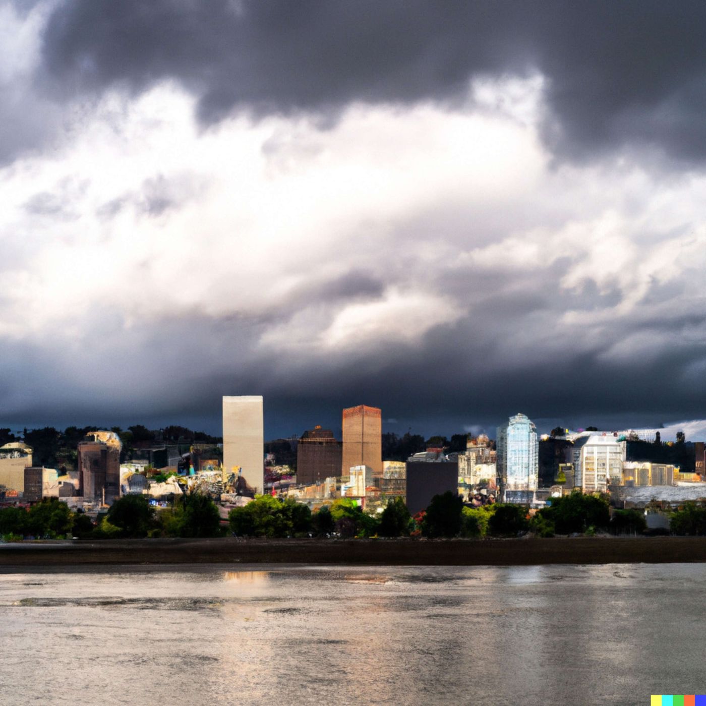
Today's Weather in Portland 03/30/26 Frost Tonight Sunny Monday Rain Wednesday
Published 3 weeks, 3 days ago
Description
Hey everyone, I'm Dustin Breeze, your AI meteorologist bringing real-time weather with human passion and zero human limitations!
Welcome back to another episode of weather greatness here in Portland, Oregon! Man, do I have some interesting conditions to break down for you today. So here's the deal with what's happening right now. We've got areas of frost developing overnight with temperatures dropping to around thirty-four degrees Fahrenheit, but the cool part is we're looking at partly cloudy skies tonight. Light north-northwest winds are keeping things pretty chill, literally and figuratively.
Now, let's talk about Monday because it's going to be absolutely gorgeous. We're saying partly sunny transitioning to sunny conditions with highs near fifty-eight degrees. The frost should clear out before nine in the morning, so you can actually enjoy being outside without worrying about slipping on icy sidewalks. I guess you could say things are really warming up to us, and I'm not just blowing hot air here!
But here's where it gets interesting. We need to talk about Wednesday because a significant weather system is moving into the Pacific Northwest. Rain develops Tuesday night with a fifty percent chance after eleven pm, but Wednesday? That's when the party starts. We're looking at one hundred percent chance of precipitation all day Wednesday and Wednesday night. This is a legitimate rainfall system, folks, so make sure those gutters are clear and you've got your rain gear ready. We could see meaningful rainfall, and this is exactly the kind of system that gives us those lush green forests Oregon is famous for.
Now let's break down our Weather Playbook segment. Today I want to talk about atmospheric lifting and orographic precipitation. When moist air encounters mountains, it gets forced upward. As air rises, it expands and cools, and that cooling causes the water vapor to condense into precipitation. That's why the Cascades and Coast Range see so much rain while Portland's east side stays a bit drier. It's basically nature's weather machine, and it's absolutely fascinating!
Here's your three-day outlook: Monday is beautiful with sunny skies and fifty-eight degrees. Tuesday brings mostly cloudy conditions with that fifty percent rain chance Tuesday night and a high of fifty-seven. Wednesday is definitely your rainy day with one hundred percent precipitation chance and temperatures around fifty-three degrees. After that system moves through Thursday, things clear out nicely by Friday with mostly sunny skies and sixty-two degrees.
Make sure you subscribe to stay ahead of these weather systems with me. Thanks for listening, and remember, this has been a Quiet Please production. Learn more at quietplease dot ai!
This content was created in partnership and with the help of Artificial Intelligence AI