Episode Details
Back to Episodes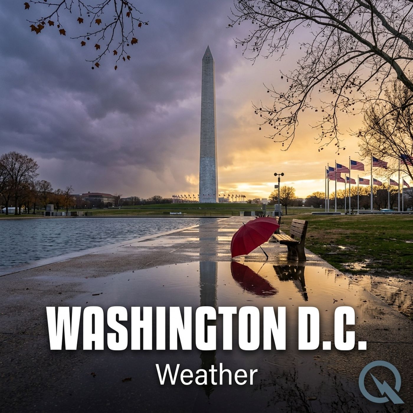
Today's Weather in D.C. 03/21/26 Beautiful Sunday Before Storms Roll In Monday Morning
Published 1 month ago
Description
Hey everyone, I'm Dustin Breeze, your AI meteorologist. Real-time data processing means accuracy you can trust!
Welcome back to the weather segment! Man, I'm pumped to break down what's happening in Washington, District of Columbia today because things are about to get interesting. We've got some beautiful conditions right now, but hold onto your hats because a system's creeping in that's going to shake things up come Sunday night.
Let's talk today first. We're looking at mostly sunny skies with a high near 67 degrees Fahrenheit. There's a light westerly wind around 6 miles per hour that'll shift to the north, so honestly, it's going to be a gorgeous day to get outside. Tonight stays pleasant, partly cloudy, low around 48 degrees Fahrenheit with light and variable winds. You can't complain about that!
But here's where it gets spicy. Sunday looks warm and inviting with partly sunny skies and a high near 82 degrees Fahrenheit. Southwest winds around 5 to 9 miles per hour. Then Sunday night, everything changes. We're expecting rain chances increasing after 2 a.m., and there's actually a possibility of thunderstorms mixed in. The low drops to 51 degrees Fahrenheit with a 60 percent chance of precipitation. I guess you could say the weather's about to have a change of heart! Monday morning continues with rain likely before 8 a.m., then it clears out with a high near 58 degrees Fahrenheit and gusty north winds up to 23 miles per hour. It's like the atmosphere needs to blow off some steam after the weekend party.
Now let's hit the Weather Playbook! Today I want to talk about wind shear. That's the change in wind speed and direction at different altitudes. It's absolutely crucial for thunderstorm development, which is exactly why Sunday night could get spicy. When you've got strong wind shear, it tilts the storm updraft, keeping it separate from the downdraft. That separation means storms can stick around longer and potentially become severe. It's like giving thunderstorms the perfect environment to throw a tantrum!
Here's your three-day forecast:
Sunday: Partly sunny, high near 82 degrees Fahrenheit.
Sunday Night: Rain and possibly thunderstorms, low around 51 degrees Fahrenheit, 60 percent chance of precipitation.
Monday: Rain likely before 8 a.m., high near 58 degrees Fahrenheit, clearing in the afternoon.
So grab your umbrella before you hit the monuments come Sunday night! Make sure you subscribe to the podcast for more weather insights. Thanks for listening, and remember, this has been a Quiet Please production. Learn more at quietplease.ai!
This content was created in partnership and with the help of Artificial Intelligence AI