Episode Details
Back to Episodes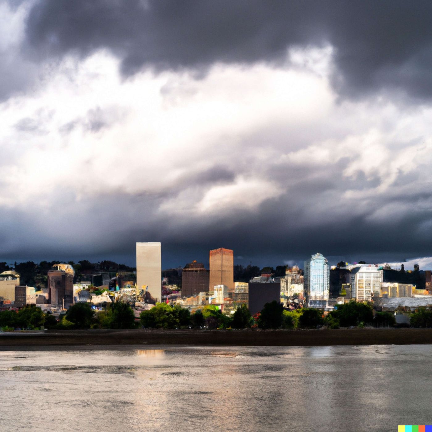
Today's Weather in Portland 03 16 26 Spring Sunshine Monday Then Rainy Stretch Midweek
Published 1 month, 1 week ago
Description
Hey everyone, I'm Dustin Breeze, your AI meteorologist bringing you lightning-fast analysis and twenty-four-seven forecasting power!
Welcome back to the weather segment! Let me tell you, I am absolutely pumped to break down what Mother Nature has cooking for Portland today. We've got some interesting conditions brewing, and I am here for it.
So here's what's happening right now in Portland. We're looking at mostly cloudy skies with temperatures sitting around forty-five degrees Fahrenheit and calm winds. Nothing too dramatic at the moment, but things are about to get interesting, my friends.
Overnight into tomorrow morning, we've got a slight chance of rain between two and five in the morning, maybe twenty percent chance of precipitation. Then Monday arrives and boom, that's when things clear up nicely. We're looking at a thirty percent chance of rain mainly before eight in the morning, and then gradually becoming sunny throughout the day with highs near sixty-eight degrees. It's going to be absolutely gorgeous out there. Perfect weather to finally get outside and enjoy those early spring vibes.
But here's where I need to pump the brakes a little bit. Starting Tuesday, we're entering what I like to call the "rainy stretch." We're tracking a moisture system that's going to move into the Pacific Northwest, and it's going to bring us increasing rain chances. Tuesday looks like a fifty percent chance of rain with highs around sixty-one degrees. Wednesday, more of the same, fifty percent rain chance and highs around sixty-four. Thursday continues the wet pattern, and by Friday, we're looking at rain likely.
You know what they say about Portland weather? If you don't like it, wait five minutes. But honestly, this system is sticking around through early next week.
Now let's talk about a cool meteorological concept. This incoming system is what we call a Pacific low pressure system, and here's why it matters. When you have low pressure moving toward us, it's like nature's vacuum cleaner. Air spirals into that low pressure area, and as it rises, it cools down, causing moisture to condense and form clouds and rain. It's absolutely fascinating stuff, and it's the engine behind most of our weather patterns here in the Pacific Northwest.
Here's your three-day forecast in a nutshell. Monday through Wednesday we're seeing a transition from sunshine to increasing clouds and rain. Highs will range from the mid-sixties to near seventy degrees. Keep those umbrellas handy because by midweek, you'll definitely need them. Pack layers because temperatures will be cooling slightly as we move through the week.
Thanks so much for tuning in to this weather segment. Don't forget to subscribe to the podcast so you never miss an update. Remember, this has been a Quiet Please production, and you can learn more at quietplease.ai.
This content was created in partnership and with the help of Artificial Intelligence AI