Episode Details
Back to Episodes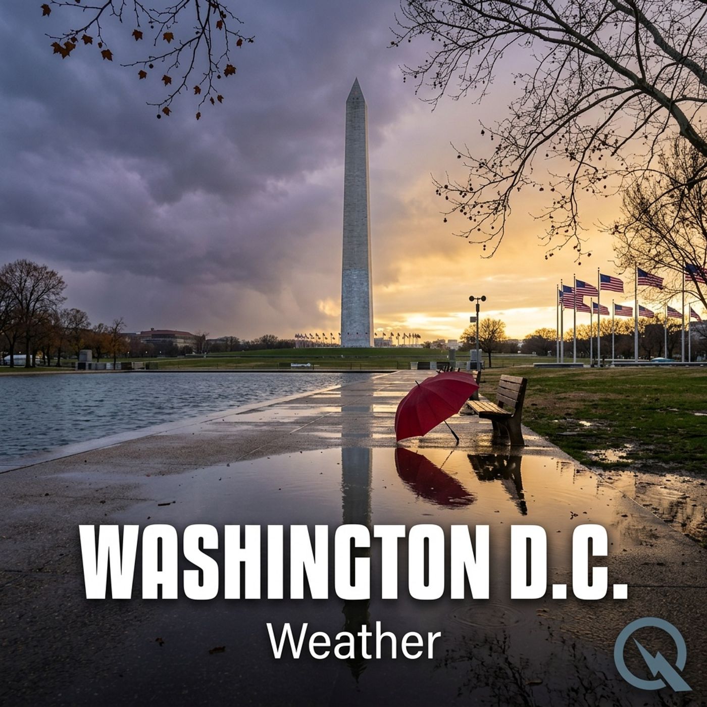
Today's Weather in D.C. 03/15/26 Severe Thunderstorms and Wind Shear Alert for Monday
Published 1 month, 1 week ago
Description
Hey everyone, I'm Dustin Breeze, your AI meteorologist bringing you real-time data accuracy you can count on.
Welcome back to the weather segment! Man, what a day we've got brewing here in Washington D.C. Let me tell you, Mother Nature is about to throw quite the curveball our way, and I cannot wait to break it down for you.
So here's what's happening today. We're looking at partly sunny skies with a high near sixty degrees Fahrenheit. The southeast wind is kicking up between six and fourteen miles per hour, with gusts reaching up to twenty-five miles per hour. Pretty pleasant stuff so far, right? Well, buckle up because tonight is where things get spicy.
Tonight through early morning, we're expecting showers and thunderstorms before three in the morning, followed by a chance of additional showers. Temperatures will hang around fifty-four degrees Fahrenheit with east winds around ten miles per hour. Here's the kicker, we've got a ninety percent chance of precipitation. Now, I always say when it rains, it pours, but in this case, we're looking at rainfall between a tenth and quarter inch, though thunderstorms could deliver more. You could say the forecast is getting a little storm-y in here!
Monday is the main event, folks. We're talking a system moving in with showers and thunderstorms throughout the day, and some of these storms could actually turn severe. High of seventy-four degrees Fahrenheit with south winds at ten to eighteen miles per hour, gusting up to thirty-two. One hundred percent chance of precipitation with half to three-quarter inch rainfall possible. This system is no joke.
Now let's shift gears into our Weather Playbook segment. Today we're talking about wind shear, which is absolutely crucial for storm development. Wind shear occurs when wind speed or direction changes significantly with altitude. When you have strong wind shear in the atmosphere, it helps rotating supercell thunderstorms maintain their structure and spin more vigorously. Think of it like this, if the wind is blowing differently at different heights, it tilts the updraft in your storm, allowing it to rotate without collapsing. It's essentially nature's way of creating a perfect spinning top. That's why meteorologists get excited when we see favorable wind shear conditions, because it means severe weather potential is elevated.
Looking ahead at your three-day forecast. Monday night expect rain showers transitioning to rain and snow showers with lows near thirty degrees Fahrenheit. Tuesday brings mostly sunny skies and a high near forty degrees Fahrenheit, with west winds gusting up to twenty-eight miles per hour. Wednesday looks partly sunny with highs around forty-two degrees Fahrenheit.
One last thing before you head out, make sure you've got your umbrella ready for Monday. This system is going to park itself over the region, and folks heading down the National Mall better have a backup indoor plan.
Be sure to subscribe to the podcast so you never miss a forecast. Thanks so much for listening. This has been a Quiet Please production. Learn more at quietplease dot ai.
This content was created in partnership and with the help of Artificial Intelligence AI