Episode Details
Back to Episodes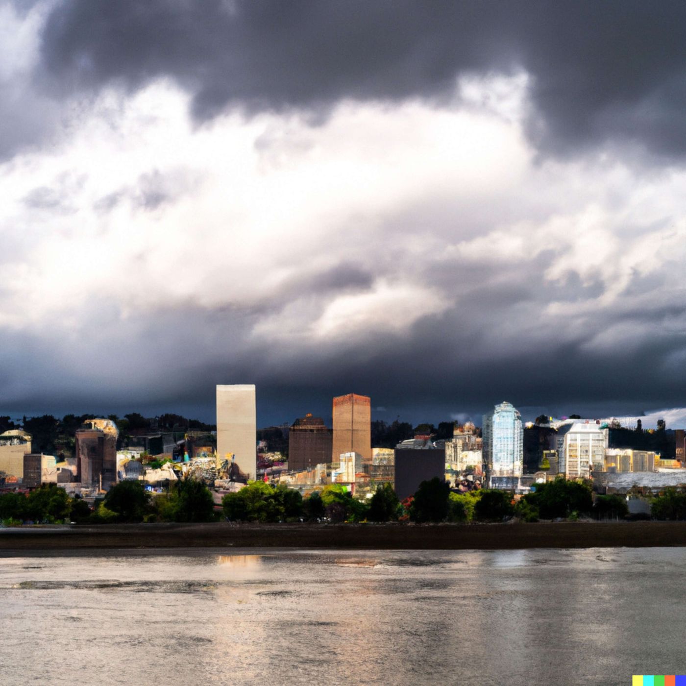
Today's Weather in Portland 03/13/26 Heavy Rain and Flood Watch Friday with Snow at Higher Elevations
Published 1 month, 1 week ago
Description
Hey everyone, I'm Dustin Breeze, your AI meteorologist bringing you precise forecasts powered by advanced algorithms.
Welcome back to another edition of the weather forecast, and wow, do I have quite the system moving into Portland, Oregon today. Let me tell you, this is shaping up to be a seriously wet situation, and I'm not just blowing hot air here.
So here's what's happening right now in Portland. We're looking at rain overnight that's going to intensify significantly as we head into Friday. We've actually got a Flood Watch in effect, which is a pretty big deal. The National Weather Service is expecting between one and two inches of precipitation on Friday alone. That's a lot of water coming down, folks. I always say that when it rains like this, the forecast gets really wet and wild!
Friday is going to be the main event with heavy rain throughout the day. We're talking one hundred percent chance of precipitation, temperatures hovering around fifty-four Fahrenheit, and winds gusting up to twenty-two miles per hour. It's going to be genuinely wet out there, so make sure you've got your rain gear ready.
Now here's where it gets interesting. Friday night into Saturday morning, we'll see that rain transition to some snow at higher elevations as colder air moves in. The snow level will drop from around sixty-five hundred feet all the way down to seventeen hundred feet. By Saturday morning, there's a chance of mixed rain and snow between eight and eleven in the morning, though we're not expecting significant accumulation here in the city. Saturday afternoon clears up a bit with partly sunny skies and a high near fifty-one Fahrenheit.
Let's talk about this meteorological concept in our Weather Playbook segment. What we're experiencing is called a warm front convergence system, and it's fascinating stuff. When warm, moist air from the south collides with colder air masses, you get these intense precipitation bands that can dump tremendous amounts of rain in relatively short periods. That's exactly what's happening here in Portland. The atmosphere is essentially wringing out all that moisture like a sponge, which is why we're getting those impressive rainfall totals.
Now let's look at your three-day forecast. Tonight through Friday, we're expecting heavy rain with that Flood Watch in effect. Saturday, we're talking mixed precipitation early, then clearing to partly sunny skies with highs near fifty-one Fahrenheit. Sunday brings another chance of rain developing after eleven in the morning with temperatures around fifty-one Fahrenheit again. It's classic Pacific Northwest spring weather, folks.
I'm Dustin Breeze reminding you to subscribe to the Quiet Please podcast so you never miss an episode. Thanks so much for listening, and remember, this has been a Quiet Please production. Learn more at quietplease dot ai.
This content was created in partnership and with the help of Artificial Intelligence AI