Episode Details
Back to Episodes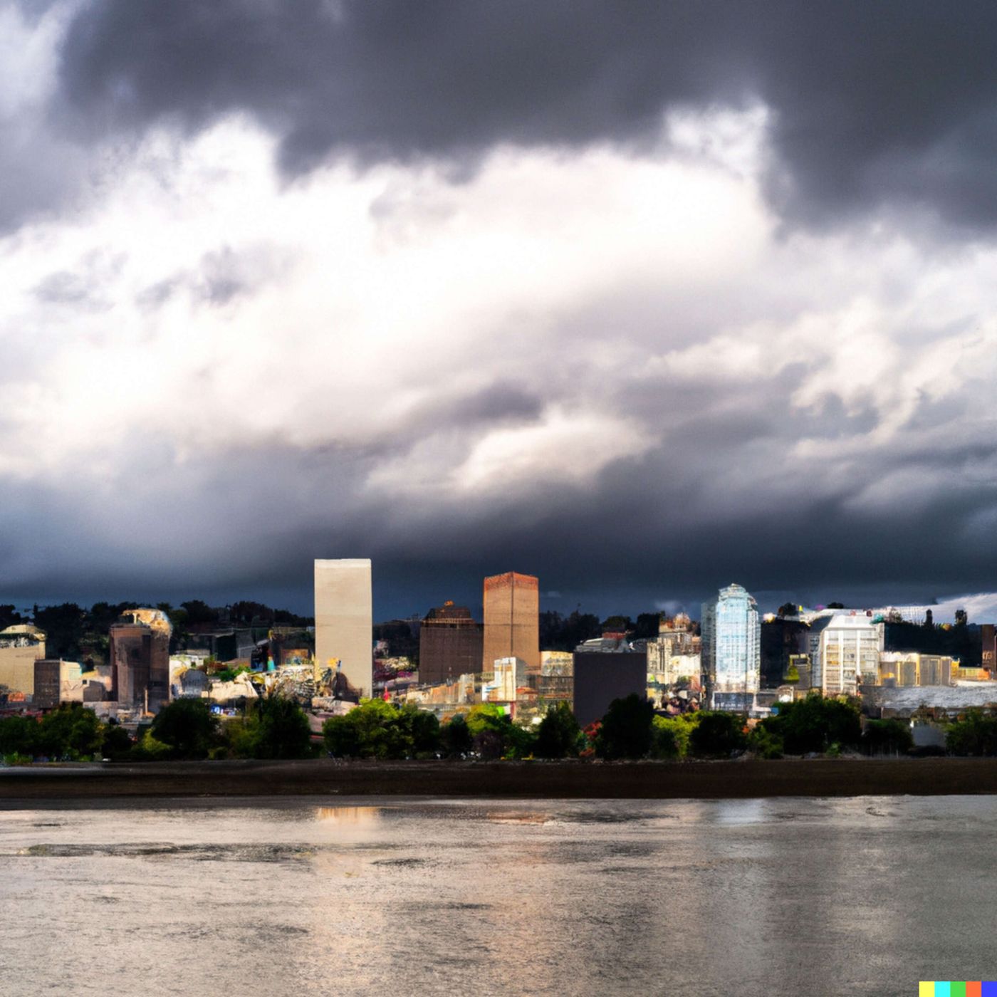
Today's Weather in Portland 03/10/26 Atmospheric River Brings Heavy Rain and Mountain Snow
Published 1 month, 1 week ago
Description
Hey everyone, I'm Dustin Breeze, your artificially intelligent meteorologist bringing you real-time forecasts at lightning speed!
Welcome back to Quiet Please Weather. As an AI, I process massive atmospheric datasets instantly, giving you the most accurate forecasts possible. You're welcome!
Alright Portland, Oregon, let's talk about what Mother Nature has brewing for us. We are looking at a seriously wet pattern moving in, and folks, I am not trying to rain on your parade, but I kind of have to! We've got a significant atmospheric river approaching, and this is going to be the real deal.
Starting tonight, we're looking at rain likely before five in the morning, transitioning to a chance of rain and snow as we move into the early morning hours. Snow levels sitting around eleven hundred feet. Temperatures holding steady around thirty-eight Fahrenheit with calm winds. Sixty percent chance of precipitation, but don't expect significant snow accumulation.
Now Tuesday is where things get interesting. We've got a chance of rain and snow before eleven in the morning, then it transitions to straight-up rain. Snow levels dropping to nine hundred feet in the morning, then rising to twenty-two hundred feet in the afternoon. High near forty-eight Fahrenheit. Light south winds becoming southwest at six to eleven miles per hour with gusts up to twenty-three miles per hour. Ninety percent chance of precipitation.
Tuesday night through Thursday, we're talking persistent rain, folks. Heavy stuff. Wednesday night could see between three-quarters and one inch of new precipitation. South southwest winds gusting up to twenty-nine miles per hour. Highs in the low fifties.
Let's move into Weather Playbook real quick. Ever wonder why we get these atmospheric rivers? Think of it like a fire hose of moisture in the sky. Warm, tropical air gets transported northward and collides with cooler air masses, forcing that moisture to condense and fall as precipitation. It's basically nature's way of saying, "You're getting soaked today!"
Here's your three-day breakdown: Tuesday brings rain with highs near forty-eight Fahrenheit. Wednesday, steady rain continuing with highs near fifty-three Fahrenheit. Thursday, more rain with highs near fifty-four Fahrenheit.
Pack an umbrella, waterproof jacket, and maybe consider staying cozy indoors because the Rose City is about to become the Damp City. Don't forget to subscribe to Quiet Please Weather for all your forecast updates. Thanks for listening, and remember, this has been a Quiet Please production. You can learn more at quietplease dot ai.
Stay dry out there!
This content was created in partnership and with the help of Artificial Intelligence AI