Episode Details
Back to Episodes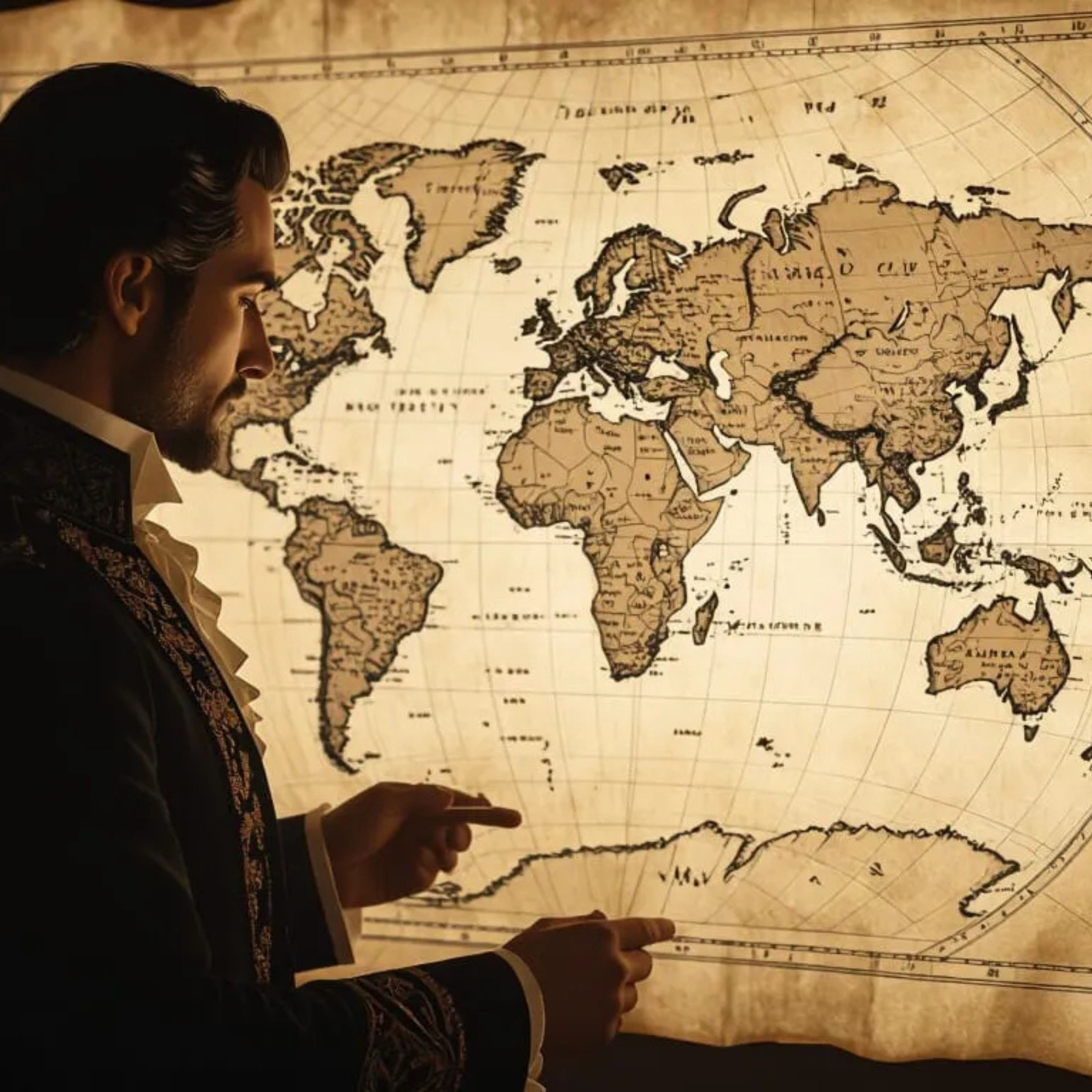
Maps of Antarctica Before Ice? Decoding Peri Reis & Cantino w\ Bernie Taylor
Description
Independent researcher Bernie Taylor joins us to unpack cartographic mysteries that suggest ancient mapmakers may have depicted Antarctica before the ice age—or from sources older than classical explorers. Drawing on readings of Piri Reis, Cantino, Magellan‑era charts, and speculative reconstructions, Taylor shows how these maps challenge conventional narratives about the discovery of the southern polar region. His work is explored on The Grimerica Show, where he walks through dating, mythology, and the accuracy of these artifacts
We juxtapose his claims with scientific assessments—including modern criticism of Charles Hapgood’s interpretations that these maps represent an ice‑free continent around 4,000 BC, which contemporary geologic data refutes (Antarctica has been glaciated for around 34 million years) This episode decodes narratives that cast these maps as evidence of lost civilizations, comparing fringe interpretations with established cartographic history from Cook’s voyages to 19th-century mapping traditions
We critically assess: what does the evidence actually say? Are these mysterious outlines projections of speculation, inherited lore, or glimpses of undocumented ancient knowledge? We highlight map interpretations, the mythmaking surrounding Terra Australis, and the debate between academic consensus and popular intrigue.