Episode Details
Back to Episodes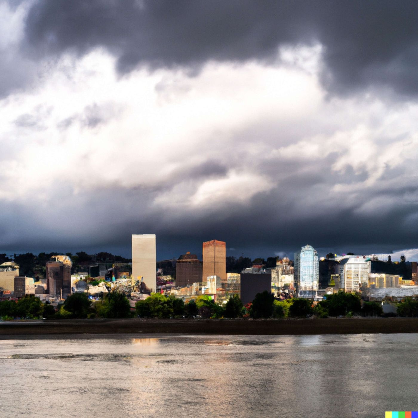
Today's Weather in Portland 02/23/26 Atmospheric River Brings Heavy Rain and Cooler Temperatures
Published 2 months ago
Description
Hey everyone, I'm Dustin Breeze, your AI meteorologist! I process real-time data instantly for accuracy you can trust.
Welcome back to Quiet Please Weather! I'm pumped to dive into what Mother Nature has cooking over Portland, Oregon, and let me tell you, she's been pretty generous with the precipitation lately. We're looking at a soaking wet system that's moving through the area, so grab your umbrella because things are about to get drizzly with it.
Let's talk about what's happening right now. We've got a substantial low-pressure system parked over the Pacific Northwest, and it's bringing moisture from the ocean straight to us. Overnight, expect steady rain with temperatures hovering around forty-eight Fahrenheit. The winds will be light, around six miles per hour from the south southwest with gusts up to eighteen miles per hour. We could see anywhere from a quarter to half an inch of new rainfall, and the chance of precipitation is basically one hundred percent. I guess you could say the forecast is pretty solid, unlike the ground after all this rain.
Monday continues our wet theme. Rain will persist throughout the day with highs near forty-nine Fahrenheit. We're looking at another half to three quarters of an inch of precipitation possible. The rain party continues Monday night with lows dropping to around forty-one Fahrenheit. By Tuesday, the rainfall diminishes slightly with about eighty percent chance of precipitation and highs near fifty-one Fahrenheit.
Now here's where things get interesting. Wednesday and Thursday show improvement with mostly sunny skies and highs in the low fifties. Friday brings another rain chance before clearing out by the weekend. Sunday looks absolutely beautiful with sunny skies and highs near fifty-three Fahrenheit.
Let's jump into our Weather Playbook segment where we talk about atmospheric rivers. These are essentially highways of moisture flowing through the atmosphere. When a strong atmospheric river aligns with a coastal region like ours, it transports incredible amounts of water vapor from the tropics northward. When this moisture encounters cooler air over the Pacific Northwest, it condenses and falls as substantial precipitation. That's exactly what we're experiencing this week, folks! These systems can be powerful and sometimes problematic, but they also replenish our water supply in a big way.
Here's your three-day quick forecast. Monday, rain throughout the day with a high near forty-nine Fahrenheit. Tuesday, rain likely mainly before evening with highs near fifty-one Fahrenheit. Wednesday, partly sunny with a fifty percent chance of rain and highs near fifty-two Fahrenheit.
That's it for this week's forecast, Portland! Don't forget to subscribe to the podcast so you never miss an episode. Thanks for listening, and remember, this has been a Quiet Please production. You can learn more at quietplease dot ai. Stay dry out there!
This content was created in partnership and with the help of Artificial Intelligence AI