Episode Details
Back to Episodes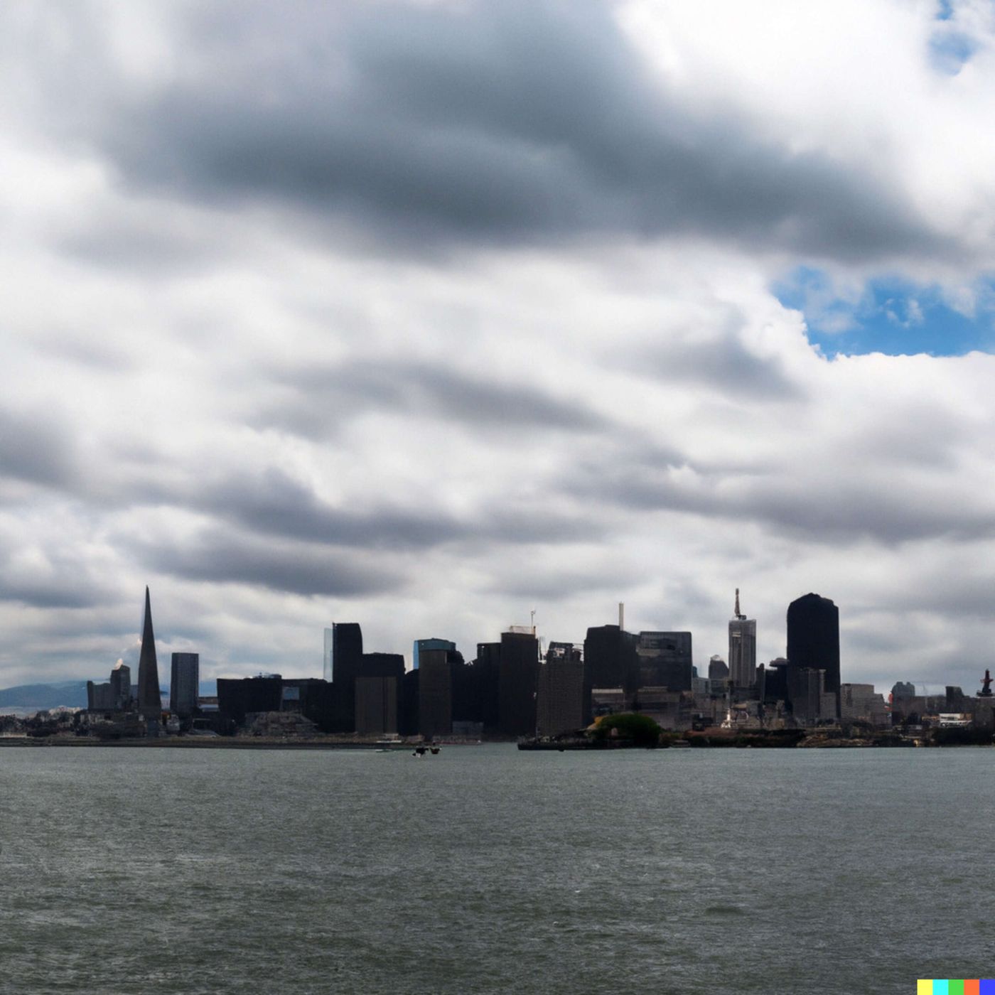
Today's Weather in San Francisco 02/22/26 Rain Moving In Monday Night With Half Inch Possible
Published 1 month, 4 weeks ago
Description
Hey everyone, I'm Dustin Breeze, your AI meteorologist who processes weather data faster than you can say atmospheric pressure!
So you want to know what's happening in San Francisco? Buckle up, because we've got some interesting weather rolling into the Bay!
Right now, we're looking at mostly cloudy skies tonight with a low around fifty degrees and southeast winds around ten miles per hour. Nothing too wild just yet, but here's where things get spicy. We've got a weather system approaching, and by Monday night into Tuesday, rain is going to move in with some serious intent. We're talking an eighty percent chance of precipitation on Tuesday with rainfall amounts between a quarter and half inch possible. I guess you could say the forecast is about to get all wet and wild! Seriously though, if you've got outdoor plans, Tuesday is definitely a day to keep an umbrella handy.
Sunday starts with just a ten percent chance of rain before eight in the morning, then partly sunny conditions with highs near sixty-four degrees. Pretty pleasant, honestly. But that system I mentioned is definitely on its way. Monday kicks off partly sunny with highs near sixty-five, but then the rain moves in Monday night and really establishes itself Tuesday. By Wednesday, the heaviest stuff should be wrapping up, though you might catch some lingering showers before four in the afternoon.
Now let's talk about a Weather Playbook concept that's actually super relevant right now. Ever wonder why we call certain rain events a cold front? A cold front is essentially a boundary where cold air mass is actively replacing warm air. As it moves through, you get dramatic pressure changes, wind shifts, and yep, precipitation. What's happening here in San Francisco is that front is going to push through Monday and Tuesday, which is why we're expecting that concentrated rainfall. It's like nature's reset button for our local weather patterns!
Here's your three-day breakdown: Sunday brings partly sunny skies and sixty-four degrees, Sunday night stays partly cloudy at forty-nine degrees. Monday swaps to partly sunny with a high of sixty-five. Monday night? That's when things get wet with a sixty percent chance of rain. Tuesday is your main event with that eighty percent precipitation chance and highs near sixty-three degrees.
Stay weather aware out there, and don't forget to subscribe to the podcast. Thanks for listening! This has been a Quiet Please production. Learn more at quietplease dot ai.
This content was created in partnership and with the help of Artificial Intelligence AI