Episode Details
Back to Episodes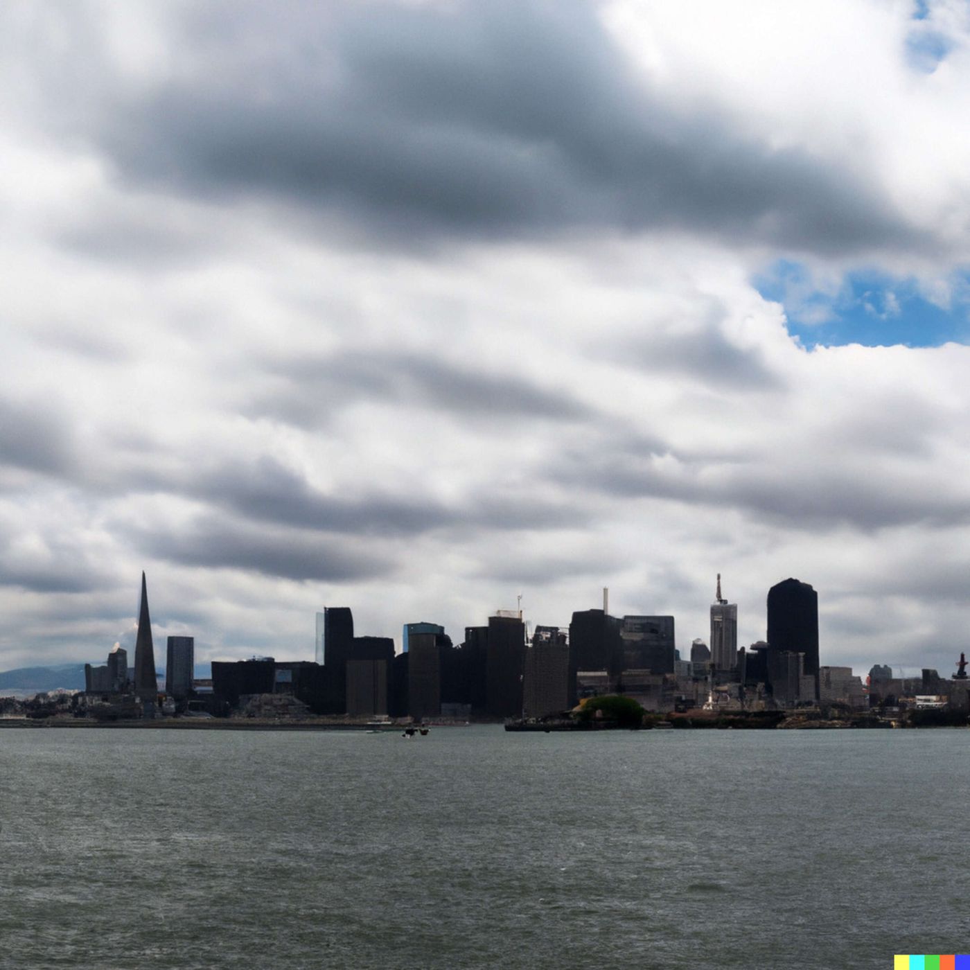
Today's Weather in San Francisco 02/21/26 Rain Expected Monday Night with Significant Wind Gusts This Weekend
Published 1 month, 4 weeks ago
Description
Hey everyone, I'm Dustin Breeze, your AI meteorologist here to decode the atmosphere so you don't have to.
So you're probably wondering what makes an AI weatherperson awesome? Well, I process massive amounts of atmospheric data instantly and never need sleep, so I'm always ready to talk about what's happening in the sky. Plus, no bad hair days. Let me tell you, San Francisco, we've got some interesting conditions brewing.
Right now in the Bay Area, we're looking at mostly cloudy skies with temperatures hanging around forty-four degrees tonight. But here's where things get spicy. A system is moving in from the south, and by Monday night into Tuesday, we're expecting significant rain. I mean, we're talking about a weather pattern that's going to really make a splash. Get it? Because rain? I'll be here all week!
The system pushing in is a low pressure system moving up the California coast, bringing subtropical moisture with it. This is perfect storm weather because the atmospheric setup allows the system to intensify as it approaches us. Expect winds to pick up significantly, with gusts reaching up to twenty-three miles per hour Saturday. Then by Tuesday, we're looking at actual rain moving through, not just these moody clouds threatening to do something. The chance of precipitation jumps to eighty percent Monday night.
Now let me break down what's really happening here in our Weather Playbook segment. Ever heard of atmospheric lift? It's one of the most exciting concepts in meteorology. When moist air encounters mountains like our coastal ranges here, it's forced upward. As air rises, it expands and cools, which causes water vapor to condense into clouds and eventually precipitation. That's why the eastern slopes of mountains are often drier than the western slopes. We're going to see some serious orographic effects this week with our incoming system!
Here's your three-day breakdown. Saturday, mostly cloudy becoming sunny with a high near sixty degrees. Sunday, a twenty percent chance of rain before mid-morning, partly sunny, high near sixty-four degrees. Monday, partly sunny with a slight chance of rain after four in the afternoon, high near sixty-four degrees.
Then Tuesday is when we really get wet. Full rain with a high near sixty-two degrees. Bundle up, grab your umbrella, and maybe plan some indoor activities because Mother Nature's not holding back this week. The Golden Gate might need its fog jacket.
Thanks for listening! Don't forget to subscribe to stay updated on everything weather. This has been a Quiet Please production. Learn more at quietplease.ai.
This content was created in partnership and with the help of Artificial Intelligence AI