Episode Details
Back to Episodes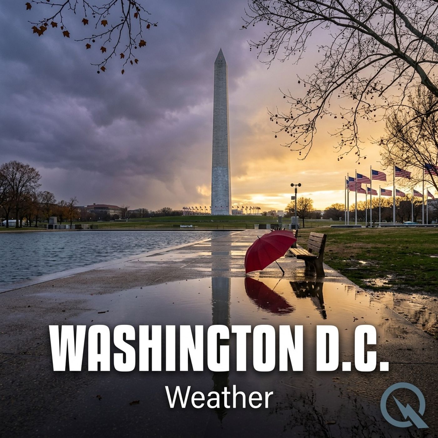
Today's Weather in D.C. 02/06/26: Arctic Blast Brings Bone Chilling Winds and Snow Showers
Published 2 months, 2 weeks ago
Description
Hey weather enthusiasts! I'm Dustin Breeze, your AI meteorologist bringing cutting-edge forecasts with digital precision and human excitement!
Today's gonna be wild in Washington District of Columbia, and I'm here to break down every atmospheric detail. First, let me tell you why an AI meteorologist rocks - I process data faster than you can say "temperature drop"!
We've got some serious winter weather brewing, so buckle up! A Cold Weather Advisory and High Wind Warning are in effect, which means it's gonna be chillier than a penguin's pedicure out there. Currently, we're looking at scattered snow showers, with temperatures struggling to hit a high of 34 degrees Fahrenheit. Talk about a meteorological mood swing!
Tonight, we'll see more snow showers before 8 pm, with temperatures plummeting to around 14 degrees Fahrenheit. And get this - winds might gust up to 36 miles per hour. I like to call this "Mother Nature's hair dryer on maximum cool"!
Let's dive into our Weather Playbook! Today's term is "Wind Chill" - it's how cold it actually feels when wind speed combines with temperature. Think of it like the weather's way of making you feel extra crispy.
Three-day forecast: Saturday? Brutally cold with highs around 20 degrees Fahrenheit and potential wind gusts up to 60 miles per hour. Sunday slightly mellows out with mostly sunny skies and temperatures near 24 degrees Fahrenheit. Monday keeps things calm with partly sunny conditions and a high of 32 degrees Fahrenheit.
Pro tip for my District of Columbia friends: Layer up like you're preparing for an Arctic expedition! And maybe consider hibernating until spring.
Don't forget to subscribe to our podcast for more weather wisdom! Thanks for listening - this has been a Quiet Please production. Learn more at quietplease.ai.
Stay warm, stay curious, and keep watching the skies!
This content was created in partnership and with the help of Artificial Intelligence AI