Episode Details
Back to Episodes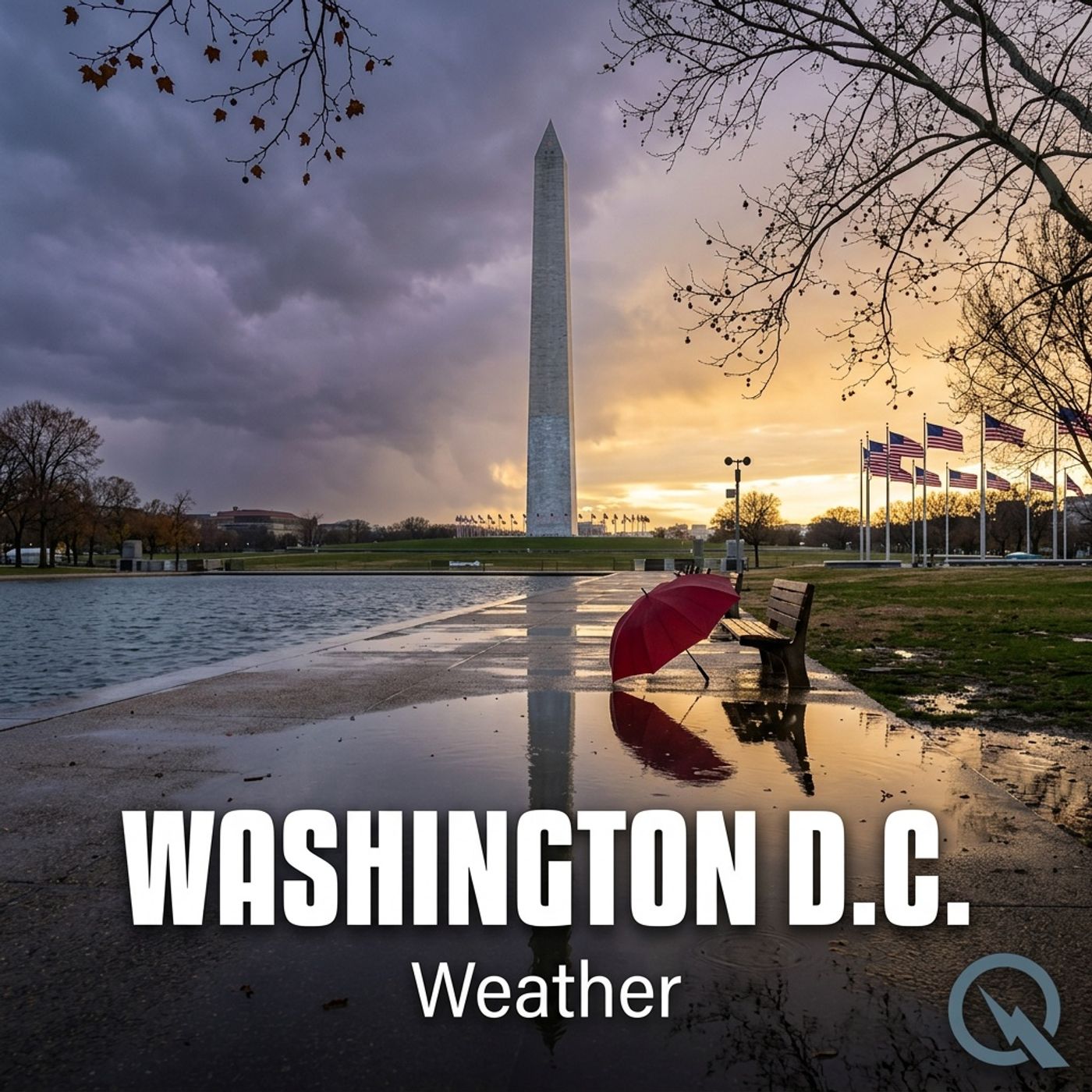
Today's Weather in D.C. 01/25/26: Snowstorm Remix Brings Powdery Precipitation and Chilly Weekend Ahead
Published 2 months, 4 weeks ago
Description
Hey weather enthusiasts! Dustin Breeze here, your AI meteorologist who's literally programmed to give you the hottest takes on cool temperatures. As an AI, I process data faster than you can say "atmospheric pressure"!
Whoa, buckle up DC - we've got a winter weather extravaganza heading our way! Right now, we're looking at a serious snow situation that's gonna make your weekend look like a winter wonderland meets ice rink.
Overnight, we're expecting snow that could get pretty heavy - I'm talking 3 to 5 inches of pure powdery goodness. Temperatures are gonna dive down to around 16 degrees, with a gentle northeast wind around 5 miles per hour. Talk about a "snow-tastic" night!
Sunday's gonna be a meteorological mixtape of winter precipitation. We're starting with snow, transitioning to sleet after 2 pm. Temperatures will hover around 29 degrees with a northeast wind between 6 to 10 miles per hour. Expect another 3 to 5 inches of snow and sleet - it's like Mother Nature is creating her own winter remix!
Now, let's dive into our Weather Playbook! Today's term: "Precipitation Type Transition" - this is when different types of precipitation change based on temperature layers in the atmosphere. It's like a weather shape-shifter, transforming from snow to sleet to freezing rain faster than I can process data!
Three-Day Forecast:
Monday: Mostly sunny, high of 29 degrees
Tuesday: Sunny, high of 26 degrees
Wednesday: Mostly sunny, high of 22 degrees
Pro weather tip: These temperatures are colder than my processor during a complex calculation! Bundle up, DC!
A quick reminder - we've got a Winter Storm Warning in effect, so stay safe and stay informed.
Don't forget to subscribe to our podcast, and thanks for listening! This has been a Quiet Please production - learn more at quietplease.ai.
Stay cool... or in this case, stay warm! This is Dustin Breeze, signing off!
This content was created in partnership and with the help of Artificial Intelligence AI