Episode Details
Back to Episodes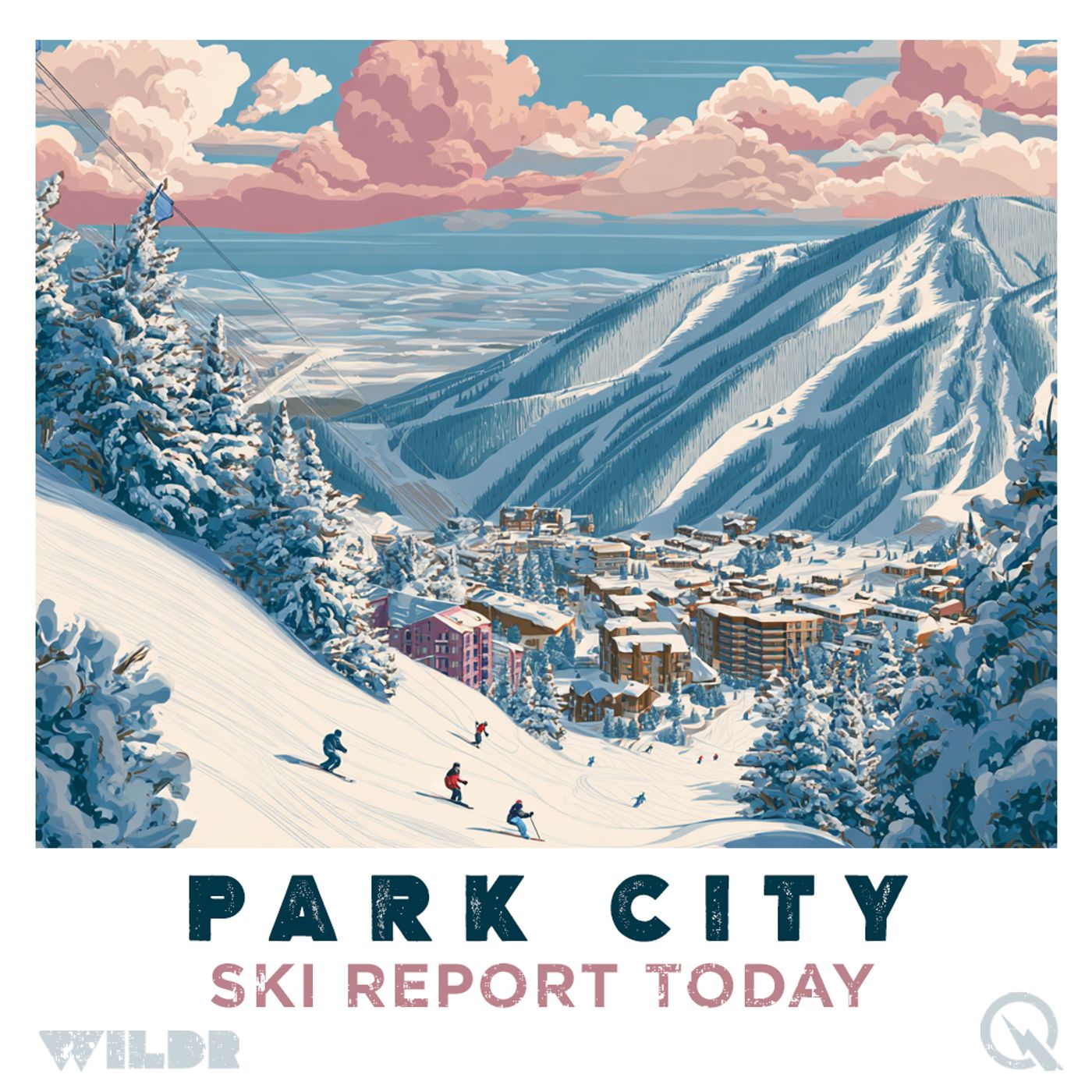
Park City Outlook: Challenging Early Season, But Promising Snow Ahead
Published 4 months ago
Description
Ski Report for Park City Mountain Resort, Utah
Daily Ski Conditions for Park City Mountain Resort, Utah
Welcome to Park City Mountain Resort as we head into the New Year! Here's what you need to know before you hit the slopes.
The current base depth sits at 66 centimeters with 66 centimeters at the summit, which reflects a challenging early season marked by unseasonably warm temperatures and limited snowfall. Fresh snow arrived on December 28th, and conditions are classified as new snow quality. Currently, only 26 of 250 kilometers of terrain are open, representing about 10 percent of the mountain's total runs. You'll find 16 of 42 lifts operating, giving you access to the valley run and a few select slopes. The groomer's picks of the day are Homerun at Mountain Village and Chicane at Canyons Village if you're looking for the best-maintained runs available.
Today is fairly mild with cloudy skies, a high near 50 degrees Fahrenheit, and light winds. The real action kicks off tomorrow morning when a storm system arrives. Thursday January 1st will bring between 1 to 5 inches of new snow to the base elevation with up to 3 inches higher on the mountain, accompanied by temperatures dropping to around 31 degrees at night. Friday looks quieter with up to 1 inch of additional accumulation before conditions settle into a cloudy pattern over the weekend.
If you're planning a longer stay, there's encouraging news in the extended forecast. Additional snow is possible from January 5th onwards, with 8 to 16 days from now showing legitimate accumulation potential. The powder alert has been issued for the coming days, with 5 inches of fresh snow forecast over the next two days. Nearby resorts are showing more impressive snow totals with Brighton and Solitude each expecting around 11 and 10 inches respectively over the next week.
For those arriving for early week skiing, expect firm to slushy conditions depending on elevation and time of day. Piste conditions can range from fresh powder to icy surfaces, particularly after warm spells. Off-piste conditions are far more variable, as wind and sun can quickly transform fresh snow into wind crust or slushy layers. The snow line is currently around 8,100 to 8,363 feet, which means base elevation terrain will see mostly rain or wet snow in early storms, though this should improve as temperatures drop.
The mountain has definitely felt the effects of Utah's warmer and drier than normal early winter pattern. Local meteorologists stress that Park City needs multiple storms just to get back near where it should be snowfall-wise for this time of year. The season average snowfall is 355 inches, and while we're still early in December climatically, the deficit is noticeable.
That said, don't let limited terrain discourage you. The resort has added extra holiday programming throughout the season, and remember there's no such thing as bad snow, only bad skiers. Grab a lift ticket, catch some turns on the available terrain, and get ready for meaningful snow to arrive in the coming days as the New Year rolls in.
The best deals on gear https://amzn.to/49QUryF
This content was created in partnership and with the help of Artificial Intelligence AI
This episode includes AI-generated content.