Episode Details
Back to Episodes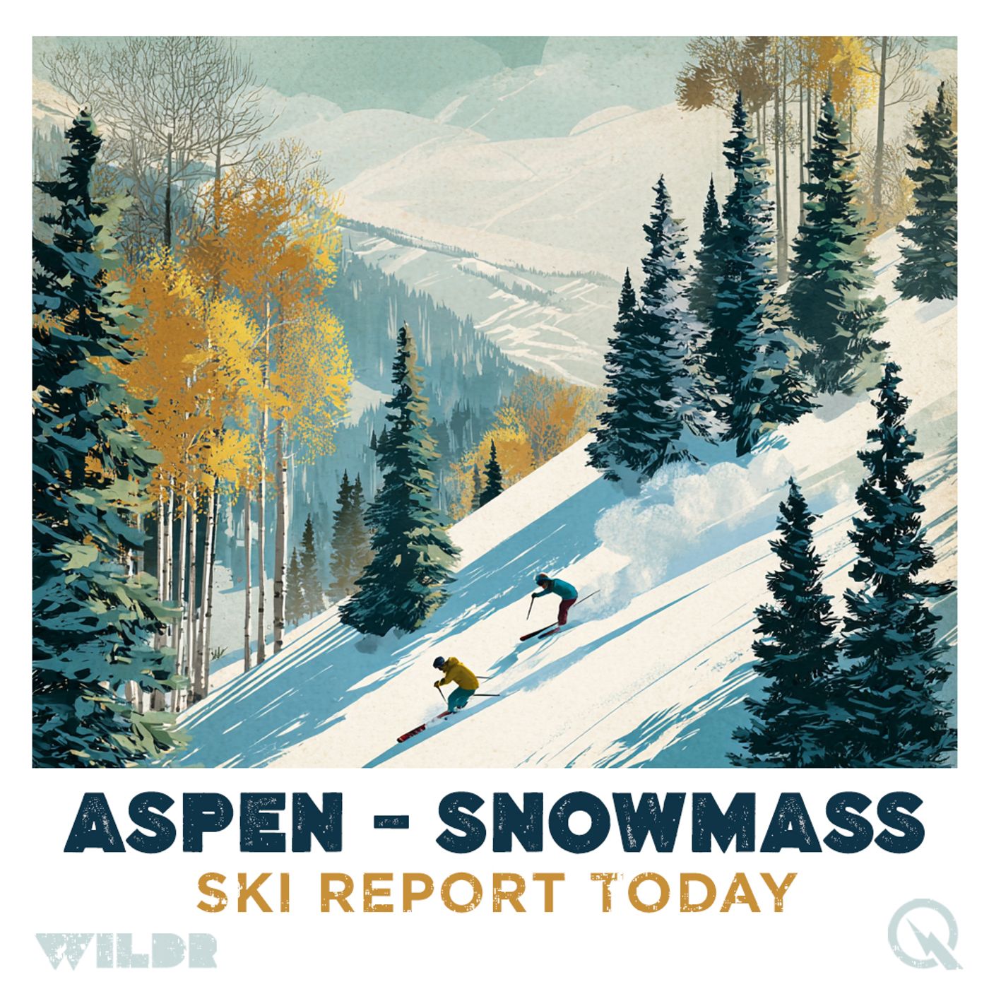
Aspen Snowmass Preps for Powdery Christmas Weekend Ahead
Published 4 months, 1 week ago
Description
Ski Report for Aspen Snowmass, Colorado
Daily Ski Conditions for Aspen Snowmass, Colorado
The Aspen Snowmass mountains are in that classic pre-holiday holding pattern right now, with calm conditions today but a significant storm system building for the Christmas weekend that could transform everything. At the moment, conditions are dry across all four mountains with recent 24-hour totals showing zero new snow, so don't expect any fresh powder underfoot just yet. However, if you're planning to stick around through the holidays, the forecast is about to get really interesting.
Today's weather is mild and clear, with valley temperatures ranging from about 37 to 55 degrees Fahrenheit at base elevation, though it's noticeably cooler up high around 38 degrees at summit. Conditions are freeze-thaw up high, which means the snow surface has probably set up fairly firm for the time being. The sky is mostly clear to partly cloudy, making for decent visibility if you're out on the slopes, though you won't find any fresh snow to play in. Winds are light to moderate from the southeast, nothing dramatic.
The real story is what's coming Thursday through Saturday. A two-wave storm system is moving in, and while it won't dump quite as much snow on the central mountains as other parts of Colorado, Aspen Snowmass is still looking at somewhere between 1 to 3 inches of accumulation from the Christmas storm. That might not sound like huge amounts compared to what the southern mountains are expecting, but combined with freeze-thaw conditions setting up a solid base, it could create some really fun spring-like skiing if you time it right. The heaviest snow is expected to hit Friday and ramp up Saturday, with the best powder days looking to be Friday, Saturday, and Sunday. Friday will probably favor the southern mountains, but by Saturday and Sunday, the central mountains should have their turn with quality powder.
Looking ahead over the next five days, Thursday brings light snow throughout the day that increases in intensity, Friday sees the main push with better accumulation expected, Saturday remains snowy and active, and then Sunday should still see some powder potential before things begin to clear out. Temperatures are expected to cool significantly as the system moves through, with highs dropping into the 30s and 40s during the snow event before moderating again early next week.
Season-to-date, Aspen Snowmass typically receives around 307 inches of annual snowfall across the mountains, and you're looking at approximately 66 days per season with measurable snow. December historically brings between 40 and 60 inches, so if this storm system delivers as expected, you're tracking well for the month. Colorado's overall snowpack is currently sitting at 59 percent of the median average, which is definitely lower than ideal, but these upcoming storms should help bring those numbers up as we head into the final stretch of December.
One thing worth noting if you're planning off-piste adventures: always check local conditions and avalanche forecasts before heading into unmarked terrain. The mountains can change hour to hour, and wind and sun can rapidly transform fresh snow into wind crust or slushy layers. Winter is beautiful but demands respect.
Whether you're here for powder chasing or just want some holiday fun on the slopes, the next few days are shaping up to be considerably more interesting than today's calm holding pattern. The building storm could deliver just enough fresh snow to make the Christmas weekend memorable.
The best deals on gear https://amzn.to/49QUryF
This content was created in partnership and with the help of Artificial Intelligence AI
This episode includes AI-generated content.