Episode Details
Back to Episodes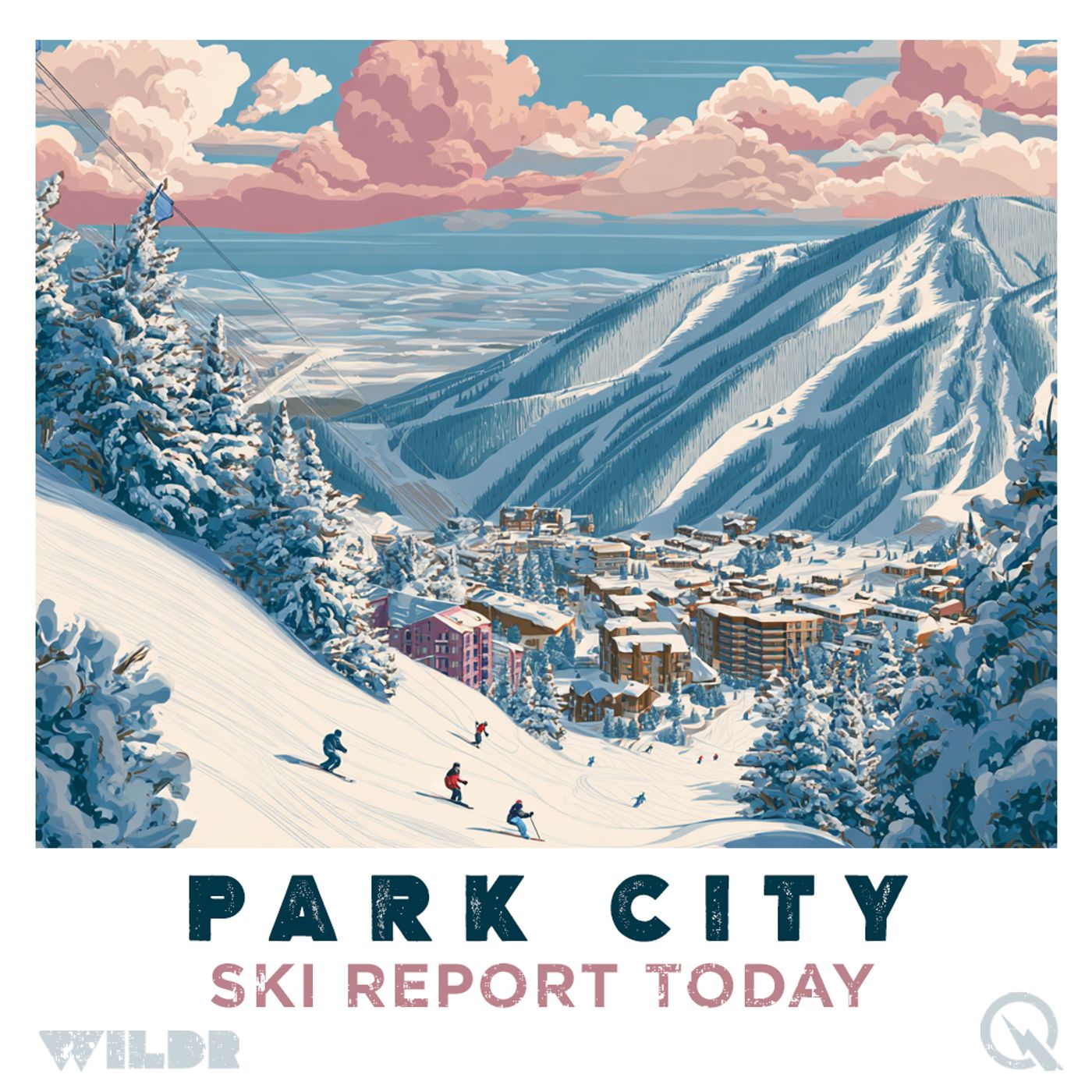
A Christmas Reality Check for Park City Mountain Skiers
Published 4 months, 1 week ago
Description
Ski Report for Park City Mountain Resort, Utah
Daily Ski Conditions for Park City Mountain Resort, Utah
# Park City Mountain Snow Report: A Christmas Week Reality Check
If you're dreaming of a white Christmas at Park City, well, Mother Nature has other plans—at least for now. Let's be real: this has been one of the toughest starts to a Utah ski season in recent memory, and the conditions heading into the holidays are testing even the most optimistic snow enthusiasts.
## Current Conditions on the Mountain
As of this past weekend, Park City Mountain has only 14 of its 348 runs open, representing just about 4 percent of the resort's terrain. That's a pretty humbling number when you consider this is supposed to be the holiday season. The base depth sits at a modest 23 inches, which is well below what you'd typically expect to see in late December. At Deer Valley Resort nearby, things are slightly better with 23 of 202 runs open and an 18-inch base, but neither resort is anywhere close to normal late-season conditions.
The sparse terrain openings reflect an unseasonably warm and dry early winter pattern that has left Utah significantly behind. Temperatures have been hovering near or above freezing during the day, which means the snow that is here is either firm or slushy depending on elevation and time of day. Higher elevations are doing better, but the lower mountain areas are really struggling. When you factor in the limited terrain available, your run selection is going to be pretty tight, no matter your skill level.
## What's Coming Down
Here's where things get slightly more interesting: the forecast shows meaningful snow arriving around Christmas Day. Park City can expect roughly seven inches of snow over an eight to nine-day window centered on Christmas, with the next significant snow expected on December 24th bringing around three inches. Over the next seven days total, forecasters are calling for about five inches of accumulation at mid-mountain elevations.
The big Cottonwood resorts (Alta and Snowbird) to the north are looking at much healthier amounts, with ten to twenty inches possible during that same timeframe. The difference? Elevation and the position of the snow line. Utah's current rain-snow line is running between 8,000 and 10,000 feet during early storms, which means that some of the precipitation coming to Park City will initially arrive as rain before transitioning to snow. That's not ideal for base building, especially when you're already behind the eight ball.
## The Week Ahead
Looking at the five-day forecast, don't get your hopes too high just yet. Early week precipitation through midweek is either going to be rain or too warm to help much. Daytime highs are expected to remain near or above 40 degrees, with overnight lows in the 30s. Christmas Eve into Christmas Day is when conditions should finally start to shift favorably, with colder temperatures moving in alongside that system bringing three inches of new snow.
After Christmas, the outlook improves slightly with additional storm chances late in the week and into the New Year, but even with the Christmas pop in snow accumulation, forecasters stress that Park City will remain well below normal for late December. You're looking at gradual improvement beginning Christmas Day, not some immediate transformation of the mountain.
## Practical Information for Your Visit
If you're arriving early in the week before Christmas, prepare yourself mentally for limited terrain and marginal conditions. Terrain expansion following Christmas will depend entirely on how much snow actually falls and how quickly the resort can stabilize and prepare new runs. The resort opens daily from 9 a.m. to 4 p.m., with the Frostwood Gondola running from 8 a.m. to 5:30 p.m. and the Cabriolet Lift available from 7 a.m. to 6 p.m.
Listen Now
Love PodBriefly?
If you like Podbriefly.com, please consider donating to support the ongoing development.
Support Us