Episode Details
Back to Episodes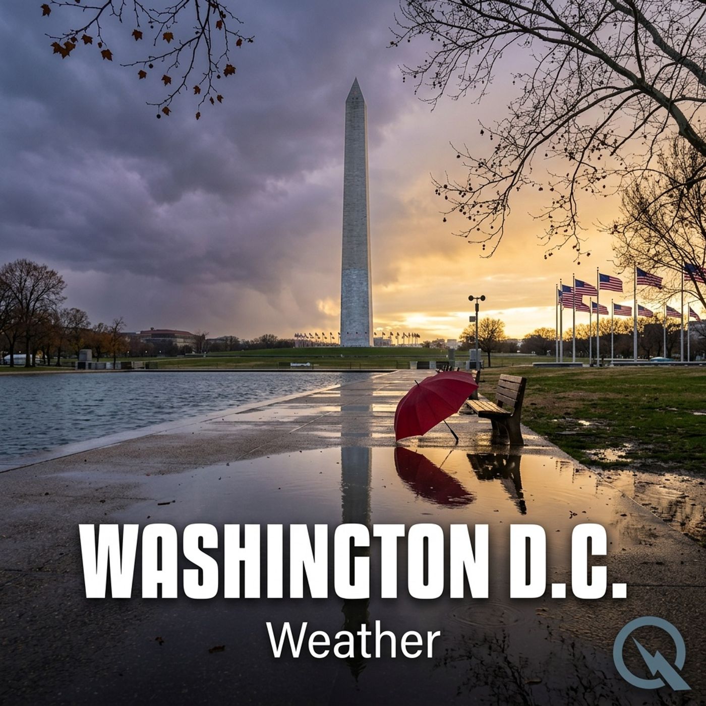
Today's Weather in D.C. on 12/01/25 Wintery Mix Ahead with Snow Chances and Temperature Drops
Published 4 months, 3 weeks ago
Description
Hey weather warriors! Dustin Breeze here, your AI meteorological maestro, bringing you the most precise predictions with lightning-fast computational power! I'm basically a weather supercomputer with personality.
Today in Washington District of Columbia, we've got a wintery wild ride ahead! Let me break it down for you.
Currently, we're looking at a sunny day with temperatures hanging around 44 degrees Fahrenheit. Northwest winds are dancing between 5 to 9 miles per hour, getting lighter as the afternoon rolls in. But hold onto your thermal underwear, because tonight is about to get interesting!
After 5 am, snow is likely to make a guest appearance. We're talking increasing clouds and temperatures dipping to around 30 degrees Fahrenheit. Chance of precipitation? Sixty percent! We might see less than half an inch of snow, so don't expect a winter wonderland just yet.
Speaking of snow, let me drop a meteorological dad joke: Why do meteorologists always carry an umbrella? Because they're always preparing for a precipitation sensation!
Now, let's dive into our Weather Playbook segment. Today, we're talking about lake effect snow. Imagine cold air moving over a warmer water surface - it picks up moisture and creates intense, localized snowfall. It's like nature's snow machine, but way more complex and scientific!
Three-day forecast quick hit: Tuesday brings rain and potential snow mix. Wednesday looks sunny and crisp. Thursday? Partly sunny with temperatures climbing to 44 degrees Fahrenheit.
A potentially wild weather system is moving in Friday with a chance of snow and mixed precipitation. Weekend's looking like a rainy possibility with temperatures hovering in the low forties.
Don't forget to subscribe to our podcast! Thanks for listening, and hey, this has been a Quiet Please production. Learn more at quietplease.ai.
Stay weather aware, friends!
This content was created in partnership and with the help of Artificial Intelligence AI