Episode Details
Back to Episodes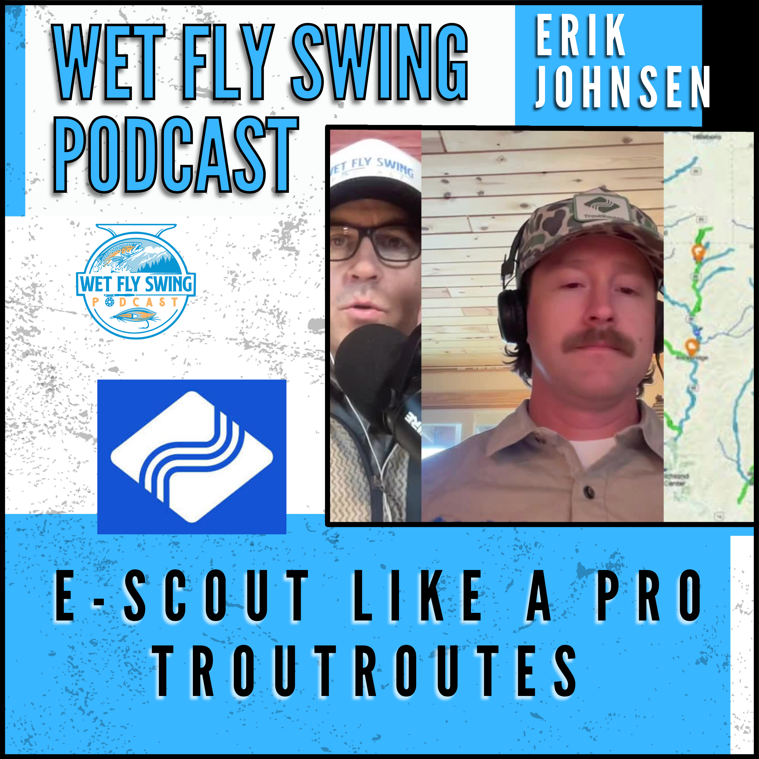
How to Find Secret Trout Water Using TroutRoutes
Description
In this episode, we sit down with Erik Johnsen from TroutRoutes to walk through exactly how to use e-scouting to find new water, avoid crowds, and plan better fly fishing days. We share the screen and break down real examples, including how to locate access points, restoration zones, river gauges, and overlooked stretches that often hold unpressured fish.
What You'll Learn
-
How to read Trout Routes river color coding (Class 1, Class 2, Blue Ribbon, Gold Medal water)
-
How to use public land overlays to find legal access
-
Why restoration sites often hold better fish
-
The map layers that matter most when e-scouting (Roads, Satellite, 3D Topo)
-
The River Miles tool and how to use it for walk-and-wade planning
-
Why your best water is often not the famous water
-
How Trout Routes keeps your custom markers & notes private
Mentioned in This Video
Try Trout Routes → https://troutroutes.com
Follow Trout Routes → @troutroutes
Listen to more episodes → https://wetflyswing.com