Episode Details
Back to Episodes
South Florida Surf Alert: High Rip Currents and Rising Waves Bring Exciting Beach Conditions This Week
Published 5 months, 1 week ago
Description
Hey beach lovers and wave chasers! This is your coastal connection bringing you the hottest surf zone intel for South Florida.
Palm Beach surfers, buckle up for some serious wave action! We're looking at a high rip current risk through Thursday evening with surf heights climbing from 3 to 4 feet today and potentially reaching 5 feet tomorrow. Those north winds around 10 mph are going to keep things interesting. The water's sitting pretty in the lower 80s and the UV index is screaming very high, so sunscreen is your best friend.
The Palm Beach forecast shows mostly sunny skies with just a whisper of potential showers on Thursday. Lake Worth Pier's tides are dancing between low and high - today's low hits at 9:59 AM and peaks at 4:31 PM, with Thursday's rhythm slightly shifted.
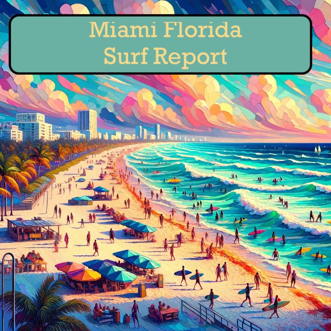
Sliding down to Fort Lauderdale and Miami, the scene looks a bit calmer. Surf heights are hanging around 1 to 2 feet with northeast winds between 10 to 15 mph. Same high UV warning applies here, so protect that skin! Expect mostly sunny conditions with a tiny chance of surprise showers.
For our Naples and Marco Island crew, things are super mellow. We're talking surf heights of 1 foot or less with a low rip current risk. Northeast winds around 10 mph will keep things breezy, and sunny skies are on tap.
Bottom line: High rip current risks mean extra caution. Stay alert, watch those waves, and enjoy the stunning South Florida coastline safely. Catch you on the flip side, wave riders!
For more http://www.quietplease.ai
Get the best deals https://amzn.to/3ODvOta
This content was created in partnership and with the help of Artificial Intelligence AI