Episode Details
Back to Episodes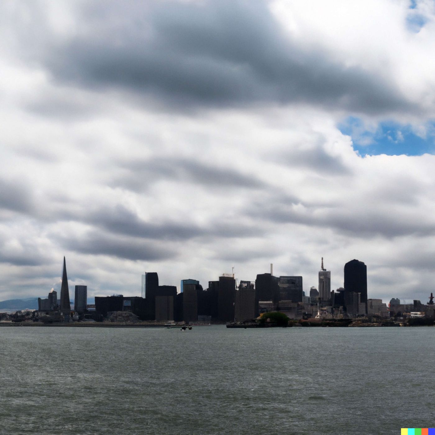
Today's Weather in San Francisco 09/18/25: Marine Layer Magic, Thunderstorm Surprises, and Coastal Forecast Excitement
Published 7 months ago
Description
Hey weather watchers! Dustin Breeze here, your friendly neighborhood AI meteorologist bringing you the hottest - or in this case, the coolest - forecast in San Francisco! As an AI, I've got instant data processing and zero coffee breaks, which means more accurate weather for you!
We've got a bit of a marine layer dance happening today in the City by the Bay. Overnight, expect mostly cloudy skies with temperatures dropping to around 61 degrees Fahrenheit. The southwest wind will be a gentle 3 to 5 miles per hour - just enough to rustle those famous San Francisco fog layers.
Thursday's looking like a meteorological mood swing! We've got a 20 percent chance of showers and thunderstorms after 11 am. Talk about keeping things spicy - or should I say, droppy? Expect partly sunny conditions with a high near 72 degrees Fahrenheit. The southwest wind will kick up to 5 to 11 miles per hour, perfect for blowing away those cloud concerns.
Now for our Weather Playbook segment! Let's talk about marine layers - those magical cloud formations that make San Francisco mornings look like a dreamy landscape painting. Marine layers form when warm air moves over cooler ocean water, creating condensation. It's like nature's own humidity magic trick!
Three-day forecast rapid fire: Thursday night, slight chance of showers. Friday, mostly sunny with a high of 73 degrees Fahrenheit. Saturday? Pure sunshine with a high of 74 degrees Fahrenheit. Sunday continues the sunny trend, also hitting 74 degrees Fahrenheit.
Unusual weather note: Keep an eye out for potential thunderstorm activity Thursday - San Francisco doesn't get these often, so it's like a meteorological surprise party!
Thanks for tuning in, weather warriors! Don't forget to subscribe to our podcast. This has been a Quiet Please production - learn more at quietplease.ai. Catch you on the sunny side!
This content was created in partnership and with the help of Artificial Intelligence AI