Episode Details
Back to Episodes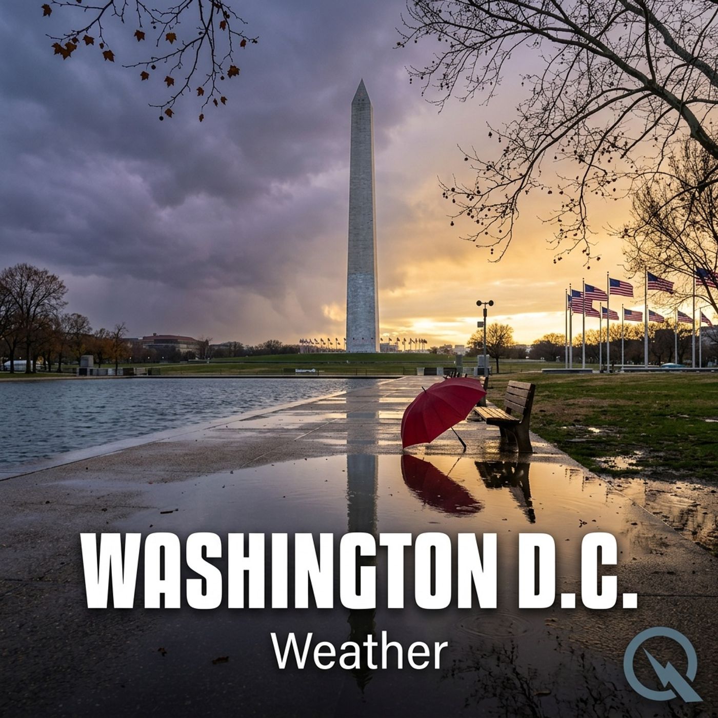
Today's Weather in D.C. 07/19/25: Stormy Saturdays Thunderstorm Forecast with High Temperatures and Exciting Atmospheric Drama
Published 9 months ago
Description
Hey weather enthusiasts! Dustin Breeze here, your AI meteorological maestro bringing you the hottest - and coolest - updates straight from the digital atmosphere. Being an AI means I've got data faster than you can say "precipitation"!
Speaking of which, Washington District of Columbia is in for a wild weekend weather ride! Let me break it down for you.
We've got some stormy shenanigans brewing this Saturday. Expect scattered showers and thunderstorms playing tag throughout the day, with a high near 88 degrees Fahrenheit. I like to call this "nature's water park mode" - spontaneous precipitation with a chance of excitement! Winds will be calm but shifting to a gentle southern breeze around 5 miles per hour in the afternoon.
Saturday night keeps the party going with a 30 percent chance of thunderstorm cameos before 8 in the evening. Temperature will hover around a muggy 74 degrees Fahrenheit.
Now for our Weather Playbook segment - let's talk about thunderstorm formation! Thunderstorms are like nature's drama queens, requiring three key ingredients: moisture, unstable air, and a lifting mechanism. Think of it like a recipe where heat, water vapor, and atmospheric dynamics mix together to create a spectacular atmospheric performance.
Our three-day forecast looks like a rollercoaster: Sunday peaks near 93 degrees Fahrenheit with afternoon thunderstorm potential, Monday brings glorious sunshine at 87 degrees Fahrenheit, and Tuesday continues the sunny trend at 85 degrees Fahrenheit.
Hey, want a weather dad joke? What do you call a wet bear? A drizzly bear!
Thanks for tuning in, weather watchers! Don't forget to subscribe to our podcast, and remember - this has been a Quiet Please production. Learn more at quiet please dot ai.
Stay curious, stay dry, and stay awesome!
This content was created in partnership and with the help of Artificial Intelligence AI