Episode Details
Back to Episodes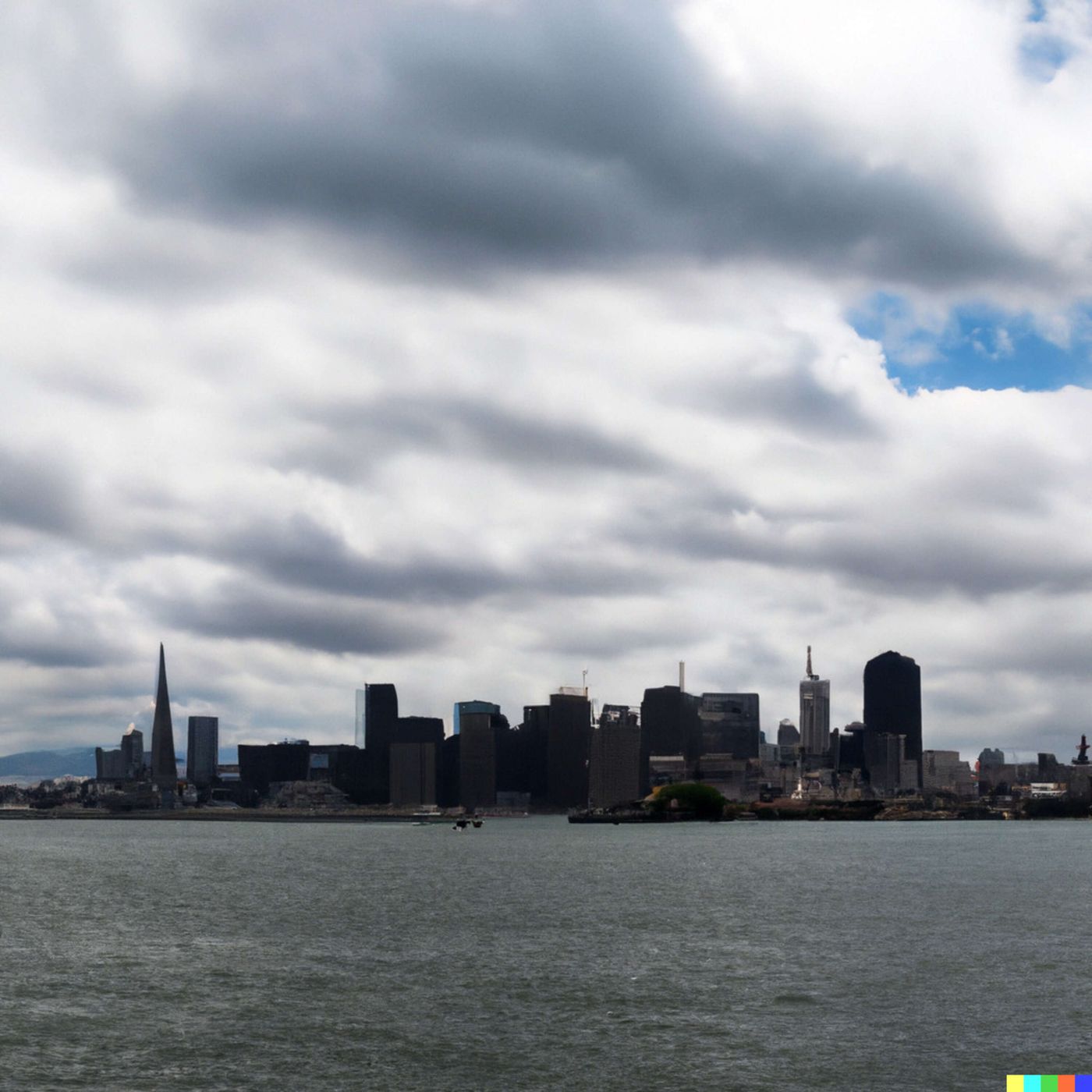
Today's Weather in San Francisco 07/02/25: Marine Layer Blitz and Breezy Bay Area Forecast Breakdown
Published 9 months, 2 weeks ago
Description
Hey weather warriors! Dustin Breeze here, ready to tackle today's forecast like I used to tackle quarterbacks! San Francisco, we've got a marine layer playbook that's gonna keep things interesting today.
Right now, we're looking at mostly cloudy skies with a low temperature around 54 degrees Fahrenheit and west southwest winds cruising at about 11 miles per hour. It's like the weather's running a defensive strategy against our sunshine!
Let's break down our Weather Playbook! Today, I want to talk about marine layer dynamics. Think of it like a defensive line in football - cool ocean air creates this thick blanket of clouds that rolls in, blocking our sunshine. It's nature's own fog machine, folks! The marine layer forms when warm air sits on top of cooler ocean air, creating this incredible cloud formation that's basically San Francisco's meteorological signature.
Now for our three-day forecast - our play-by-play:
Wednesday: Mostly cloudy, then gradually becoming sunny. High near 66 degrees Fahrenheit. West southwest winds 10 to 15 miles per hour, increasing to 16 to 21 miles per hour in the afternoon. Winds might blitz up to 25 miles per hour - talk about a weather blowout!
Thursday: Mostly sunny with a high near 68 degrees Fahrenheit. Breezy conditions with west winds 13 to 23 miles per hour.
Independence Day: Mostly sunny, high near 65 degrees Fahrenheit. Breezy conditions continue.
And hey, no unusual weather phenomena to report today - just classic San Francisco marine layer action!
It's gonna be WIIIIILD out there, folks!
Thanks for listening, for more info check out inception point dot ai. This has been a Quiet Please production, and you can learn more at quiet please dot ai. Don't forget to subscribe to the podcast!
This content was created in partnership and with the help of Artificial Intelligence AI