Episode Details
Back to Episodes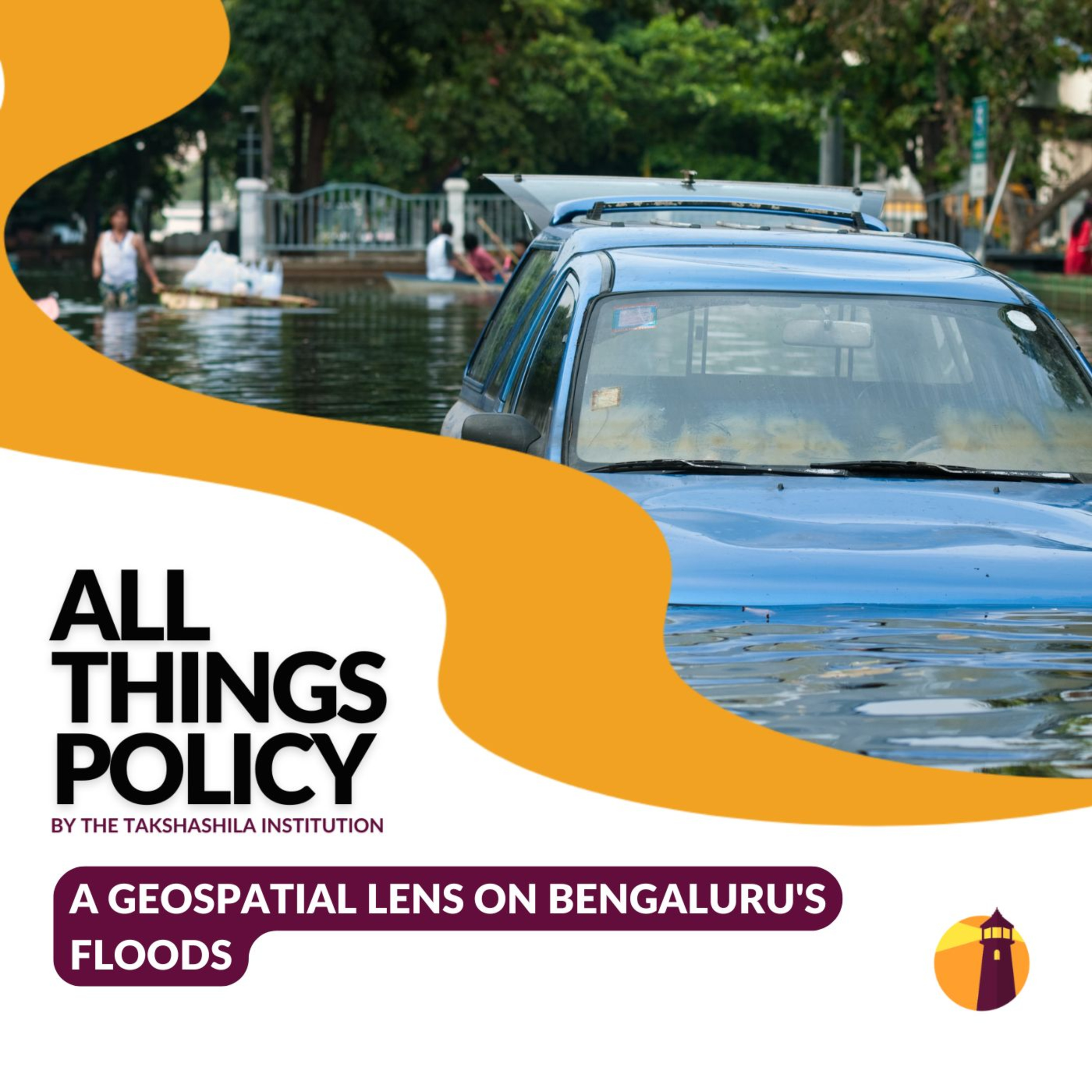
A Geospatial Lens on Bengaluru's Floods
Description
Urban floods in cities like Bangalore are becoming more frequent and disruptive. In this episode of All Things Policy, Avinash Shet and Dr Y. Nithiyanandam, a professor and the head of the Geospatial Program at the Takshashila Institution, explore how geospatial technologies—maps, sensors, and AI—can aid in planning, mitigation, and sustainable flood management.
'Introduction to Geospatial Science & Technology' - Join our 4-weekend expert capsule course starting June 14, designed to give you a solid foundation in geospatial science and technology— without disrupting your weekdays. Learn from top-notch experts covering critical topics and discover how geospatial tech can drive innovation across disciplines.
Apply by June 7 - school.takshashila.org.in/ecc-geospatial
All Things Policy is a daily podcast on public policy brought to you by the Takshashila Institution, Bengaluru.
Find out more on our research and other work here: https://takshashila.org.in/...
Check out our public policy courses here: https://school.takshashila.org.in