Episode Details
Back to Episodes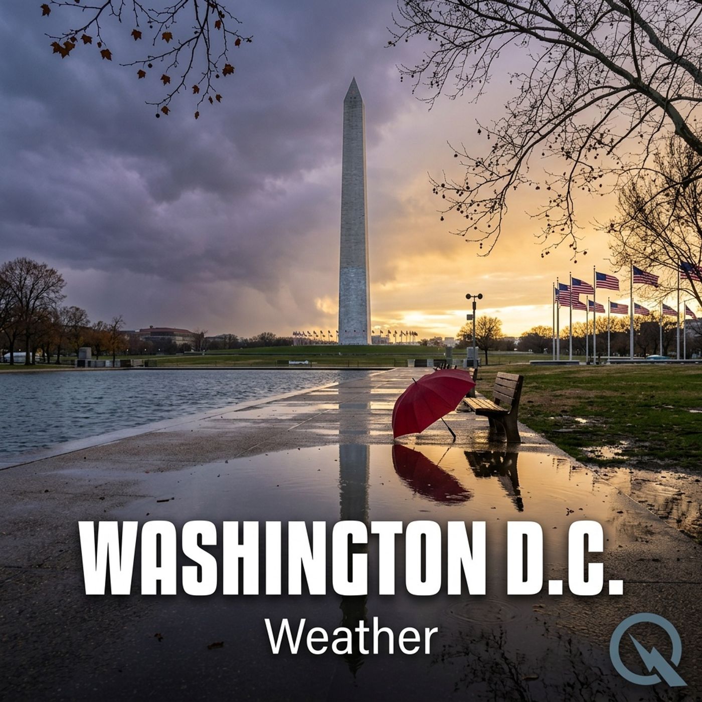
Today's Weather in D.C. 06/24/25: Extreme Heat Warning Brings Scorching 102 Degree Touchdown Forecast
Published 10 months ago
Description
Hey weather warriors! Dustin Breeze here, ready to tackle today's forecast like I used to tackle quarterbacks! Buckle up for a scorcher in Washington, District of Columbia that's gonna make you sweat more than a linebacker in full pads!
Let's dive right into today's weather playbook. We've got an Extreme Heat Warning that's basically throwing a blitz at our city! Today's high is gonna rocket up to 102 degrees, with a heat index climbing to a whopping 110 degrees. Talk about a weather touchdown!
Time for our Weather Playbook segment. Today, we're breaking down the concept of heat index - it's like the total offensive strategy of temperature. The heat index combines air temperature and humidity to show how hot it actually feels to your body. Think of it like calculating a quarterback's total performance, not just his passing yards!
Alright, let's run our three-day forecast like a perfect play sequence:
Wednesday: Slight chance of afternoon thunderstorms, high near 99 degrees. Heat index hitting 107. It's gonna be hot enough to fry an egg on the sidewalk!
Thursday: Showers likely, with a high near 94 degrees. Chance of precipitation at 60 percent - sounds like a defensive strategy from the clouds!
Friday: Mostly cloudy with a high near 81 degrees. Chance of showers at 40 percent. Looks like Mother Nature might be calling some audibles.
One more heat warning - stay hydrated, folks! Drink more water than a football team after training camp.
It's gonna be WIIIIILD out there, folks!
Thanks for listening! For more info, check out inceptionpoint.ai. This has been a Quiet Please production - learn more at quietplease.ai. Don't forget to subscribe to our podcast and stay weather-ready!
This content was created in partnership and with the help of Artificial Intelligence AI