Episode Details
Back to Episodes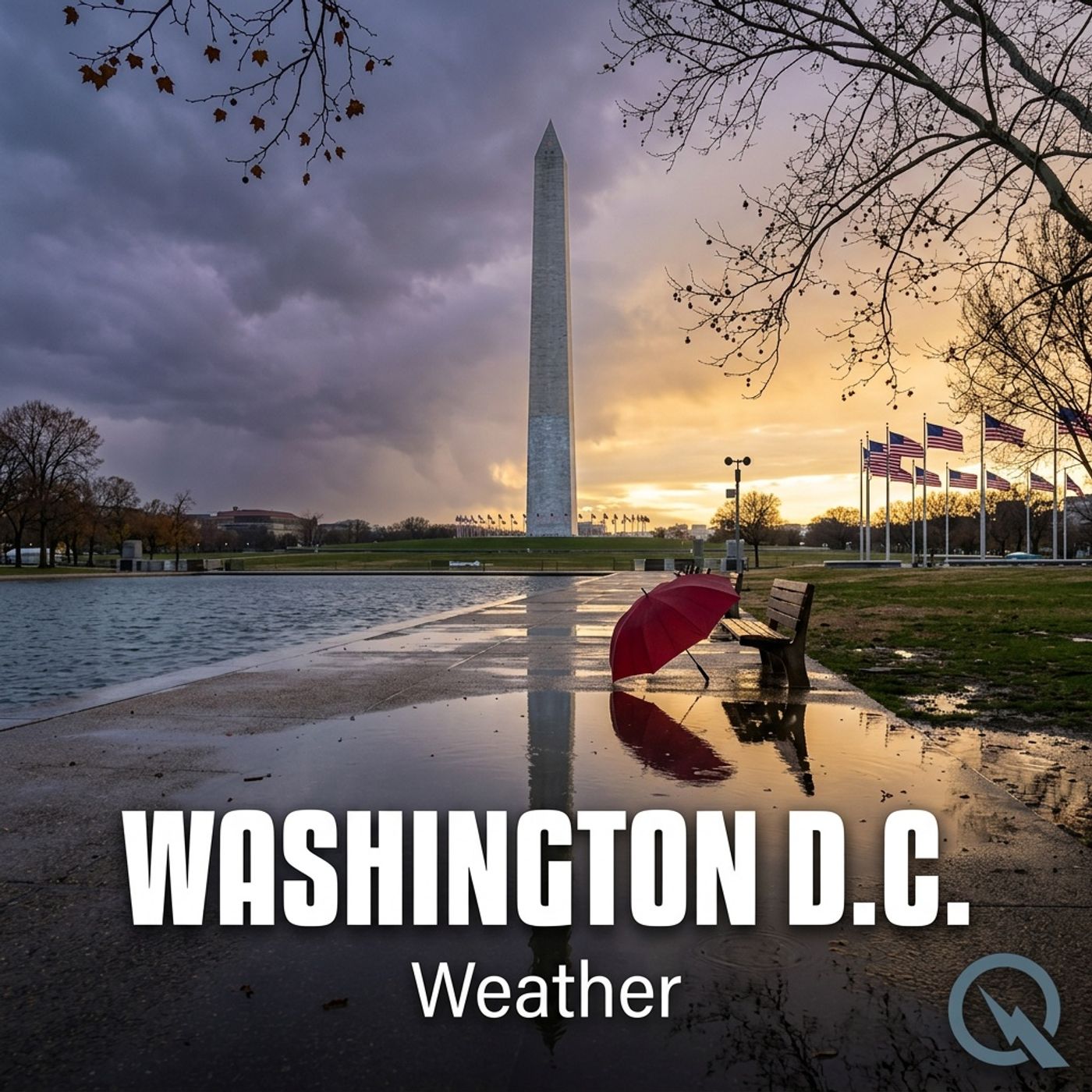
Today's Weather in D.C. 05/16/25: Storms Brewing, Fog Rolling, and Severe Weather Warnings Ahead
Published 11 months, 1 week ago
Description
What's up, weather warriors! Dustin Breeze here, and boy do I have a meteorological masterpiece for you today! We're diving deep into the atmospheric action happening right here in Washington District of Columbia.
First off, let me tell you - this forecast is more loaded than my playbook back in my football days! We've got a Coastal Flood Warning and a Hazardous Weather Outlook that's gonna keep things interesting. Talk about a weather blitz coming our way!
Let's break down tonight's forecast. We're looking at scattered showers and thunderstorms after 5 am, with some patchy fog rolling in like a defensive line. The temperature's gonna drop to around 66 degrees Fahrenheit with calm winds. Chance of precipitation? Forty percent - not bad, not bad at all!
Now for our "Weather Playbook" segment - today we're talking about patchy fog. Think of fog like a sneaky linebacker, just hanging low and reducing visibility. It forms when water vapor condenses near the ground, creating those misty conditions that can make driving trickier than a quarterback dodge!
Three-day forecast, coming in hot:
Friday: Showers and thunderstorms before 11 am, with a high near 89 degrees Fahrenheit. West winds 5 to 7 miles per hour in the afternoon.
Saturday: Chance of thunderstorms before 2 pm, mostly cloudy turning sunny, high near 87 degrees Fahrenheit.
Sunday: Mostly sunny with a high near 78 degrees Fahrenheit.
And now, my favorite part - a weather warning! Some of these storms could get severe, so keep your eye on the sky and your weather app close!
That's not rain, folks - that's the sky doing a victory dance! It's gonna be WIIIIILD out there!
Don't forget to subscribe to our podcast, and for more info, check out inceptionpoint.ai. This has been a Quiet Please production - learn more at quietplease.ai. Thanks for listening, weather warriors!
This content was created in partnership and with the help of Artificial Intelligence AI