Episode Details
Back to Episodes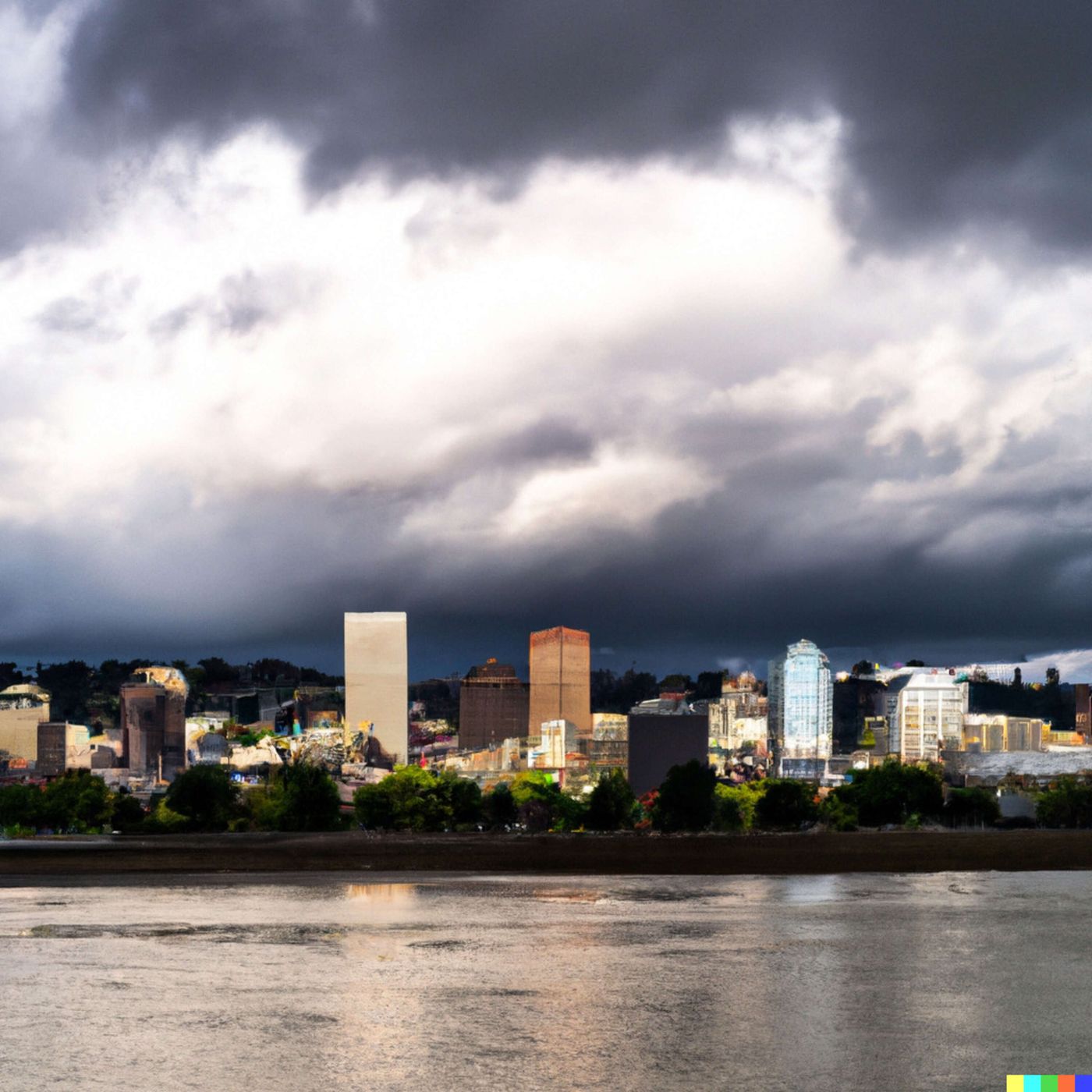
Today's Weather in Portland Weather Report for 03-11-2025
Published 1 year, 1 month ago
Description
Weather Report Script for Portland, Oregon
Hey there, Portland! Let's dive into this week's weather rollercoaster.
Tonight, we've got a slight chance of showers after 3 am, with temperatures dipping to around 40 degrees Fahrenheit. It'll be mostly cloudy with calm winds, so keep that light jacket handy.
Tuesday brings a bit more excitement. We're looking at a slight chance of showers in the morning, transitioning to a higher chance of rain in the afternoon. Temperatures will climb to near 53 degrees Fahrenheit, with winds shifting to a gentle south-southwest breeze around 5 miles per hour.
Tuesday night is when things get serious - we're talking full-on rain with temperatures around 44 degrees Fahrenheit. Expect about a tenth to a quarter inch of precipitation.
Wednesday continues the wet trend with rain throughout the day. Temperatures hover around 52 degrees Fahrenheit, and we might see between a quarter to half an inch of rainfall.
Thursday gets interesting with potential thunderstorms after 11 am. The snow level will be around 1,800 feet, and temperatures will max out near 49 degrees Fahrenheit.
As we move into Friday and the weekend, expect a mix of showers, cloudy skies, and temperatures ranging from the high 40s to low 50s. The weekend looks particularly soggy with consistent rain.
Portlanders, this is your classic Pacific Northwest weather - layers are your best friend, and don't forget that trusty umbrella!
For more detailed information, check out the link in our show notes from the National Weather Service Portland office.
Thank you for listening and make sure to subscribe to never miss an update.
This content was created in partnership and with the help of Artificial Intelligence AI