Episode Details
Back to Episodes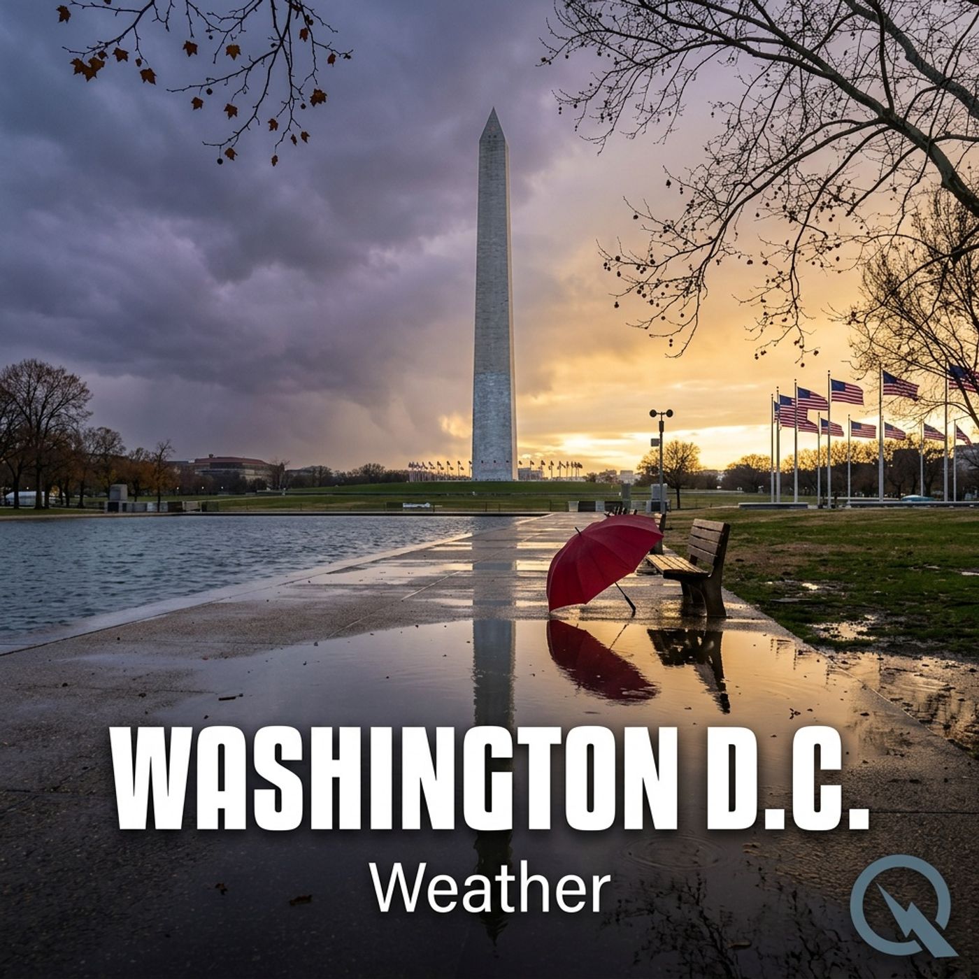
Today's Weather in D.C. Weather Report for 02-12-2025
Published 1 year, 2 months ago
Description
Good morning, weather watchers! This is your Weather Update for Washington District of Columbia.
Buckle up because we've got a winter weather adventure heading our way! A Winter Storm Warning is in effect, so let's break down what Mother Nature has planned for us today.
This morning starts with a wintery mix - we're looking at a chance of snow and sleet before 1 pm, transitioning to rain later in the afternoon. Temperatures will hover around a chilly 36 degrees Fahrenheit with east winds around 7 miles per hour. Expect a light dusting of snow and sleet, less than half an inch accumulation.
Tonight, get ready for non-stop rain. Temperatures will barely drop to around 35 degrees Fahrenheit with light east winds. We're anticipating between a quarter to half an inch of precipitation.
Thursday brings a slight chance of morning showers, then clearing to mostly sunny skies. Temperatures will warm up to near 51 degrees Fahrenheit with winds shifting from south to west and potentially gusting up to 29 miles per hour.
The weekend looks wet with rain expected Saturday and Sunday, with temperatures climbing to a surprising 61 degrees Fahrenheit on Sunday.
For Presidents Day, expect sunny skies and a high near 37 degrees Fahrenheit.
For more detailed information, check out the link in our show notes to the National Weather Service website.
Thank you for listening and make sure to subscribe to never miss an update.
This content was created in partnership and with the help of Artificial Intelligence AI